Climb to the Roof of Africa: Mt. Kilimanjaro
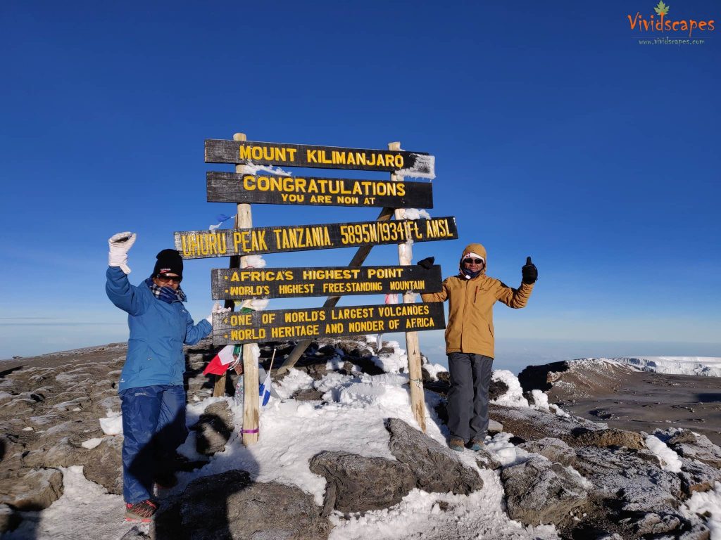
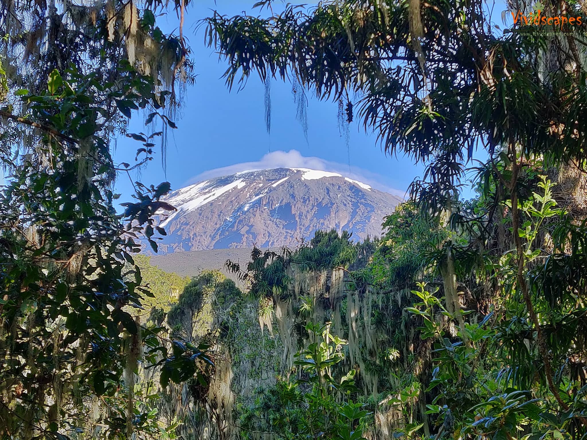
Kilimanjaro, also referred to by many as the roof of Africa is the world’s tallest free standing mountain with the highest point of Uhuru peak at 5895m and the world’s largest volcanoes and a world heritage site.
So climbing this wonder is on many adventurous traveler’s bucket-list, a sense of achievement of standing on top of Kilimanjaro, one of the seven summits is an unforgettable feeling that brings many to undertake this extreme adventure.
A huge heartfelt thanks to…
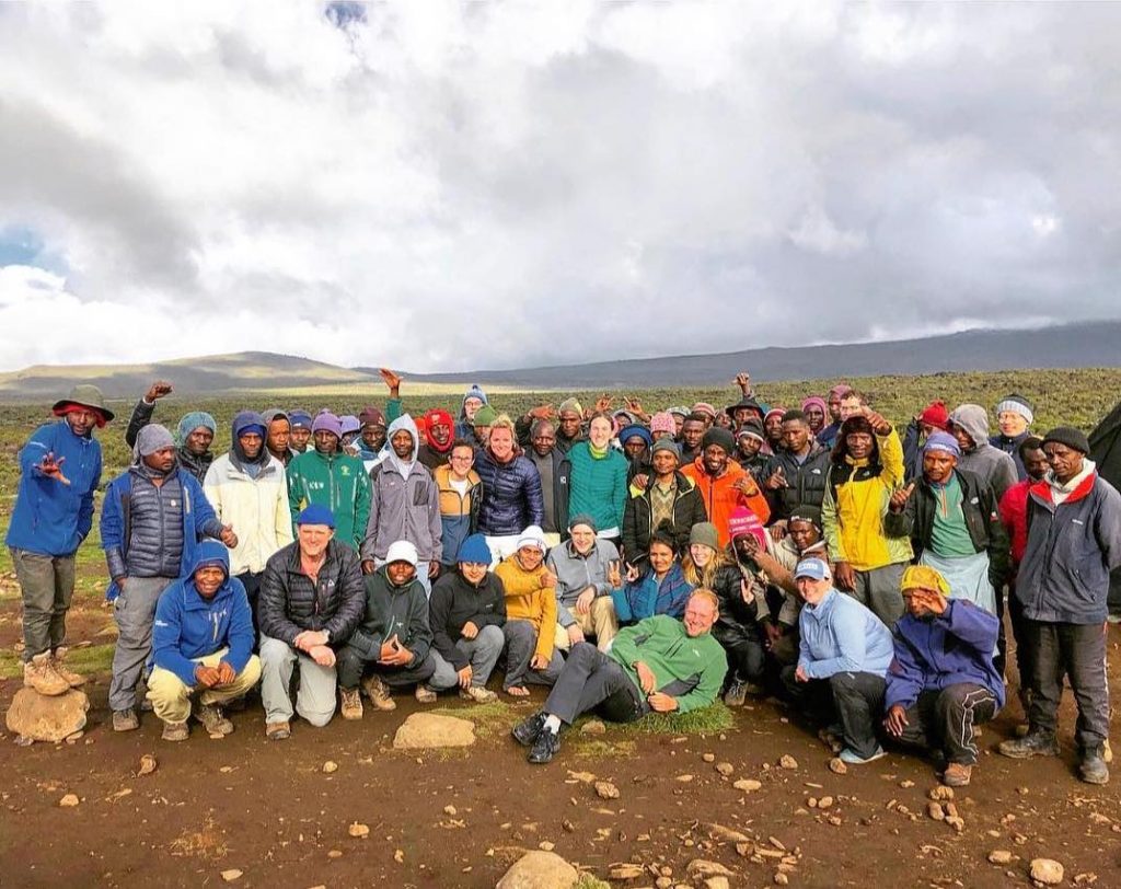
We successfully reached the summit on the 12th of January 2019 at 7:10am, all this was only and ever possible because of the amazing guides, porters and cooks who helped us in every single step of the way, without them we would not have made this.
We would like to extend our thanks to our wonderful guides August and Dus, they even helped us with our backpack on summit day, how wonderful and always around us and available whenever we needed anything, assistant guides who set a wonderful pace for the trek over the different days.
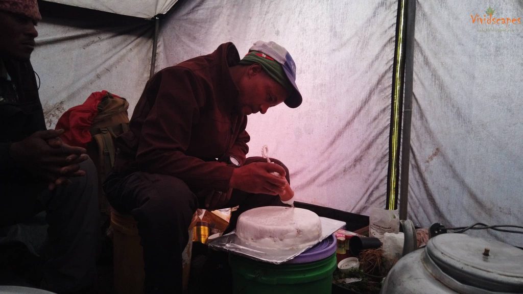
A special thanks to Reginald and Julias who cooked delicious meals and kept our tummies happy, we wanted some rice, rice and potatoes are good sources of energy on the mountains and the truth is we couldn’t eat any more bread or pasta :), and they were more than happy to include them in their daily menu and made sure we were all well fed and in top shape to tackle the daily challenges.
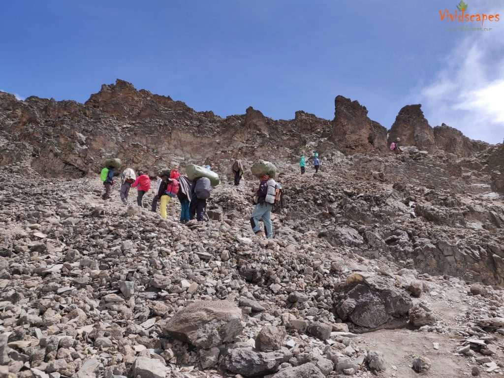
A special thanks to all the porters who carried our extra clothes and essentials, set up the tents before we arrived at the campsites and making sure everything was ready in time.
We booked our trek through UltimateKilimanjaro, they were perfect in every way, prompt email communications before the bookings and all the way to the end, hotels bookings were all amazing and we can definitely recommend them if you are planning a climb yourself.
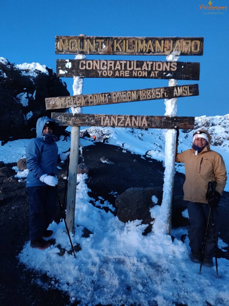
The first step on Stella point, Suni and myself broke into uncontrollable tears, the grandeur of mother nature, we bowed down to her for helping us set foot on the peak, the pain in our legs walking all this while vanished in a moment and was filled with ecstasy over the sense of achieving this goal, words couldn’t describe this feeling.
Do not give up at Stella point, push yourselves to the peak, it’s just a short walk away from here.
How Hard is it to Climb Kilimanjaro
Sleepless night + tiredness + Altitude + cold and windy weather = is there anything more challenging than this ?
It was definitely not a walk in the park or a simple uphill hike atleast on Summit day, we would pause randomly and gasp for air, we were literally falling asleep as we were walking, the guides tried to keep as awake by singing songs, at times i felt i was walking with my eyes closed and suddenly would realise it and stare around if am all ok, may be that was hallucination :), our guides would only give us limited break, probably they knew that we wouldnt get up if it was any longer, and also the wind chill that became worse the longer we stopped. We had 8 to 9 snickers chocolate bars in a span of 8 hours between the both of us to keep up with the energy demands, and then the descend down to base camp, all of this makes this day the most challenging feat.
It is not Technical, you don’t need any special rappelling, rock climbing or any special skills to climb Kili, effectively it’s a long hard hike at high altitude, above 4500m its extreme altitude which become a serious undertaking that makes it very hard and challenging, however fit an athele you might be, its very hard to train for Altitude.
Anyone with a reasonable level of fitness and an active lifestyle should be able to do the trek, don’t get bogged down by people who try to discourage you by telling you that you can’t do it if you are not an athlete or you need an year of preparation, 3 to 4 months of workouts should be good, it helps if you can get a bit of core, strength training, legs and longer walks, so you can maintain some endurance levels.
Listen to your inner voice, so as long as your body co-operates fine with the effects of Altitude, all you need is mental strength and a strong belief that you can do it and you too can reach the peak. Believe in yourself!
What is the Best Route
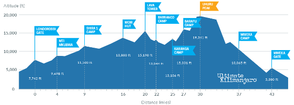
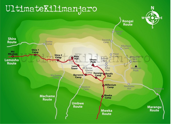
In the mountains it’s always the slow way that wins, too fast and you don’t recover as quickly up there as at sea level, so we chose the Lemosho route which gave us a good 8 days, good acclimatisation days and promised wonderful scenery along the way and we were not disappointed. So whatever route your are planning, choose the ones that allow for hiking high and sleeping low and safe high altitude trekking suggests at least 7 to 8 days at minimum, the cheapest routes with just 5 days have the lowest success rate for a reason!
Check Climb Kilimanjaro Guide for a comprehensive info on all the details, complete packing list and routes, it’s the number 1 guide to climbing Kili.
If you suffer from altitude sickness, prescription drug Diamox can help, a lot of our fellow hikers took them, but we wanted to do it without medication and we were fine without Diamox.
A Typical Day in the Mountains
The day in the mountain starts early with a wake up call at 6:30am, a bowl of hot water awaits you by the Tents for brushing and face wash and then followed by hot tea or coffee and a sumptuous breakfast of Porridge, bread and fruits.
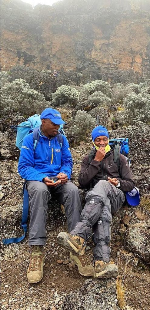
Heart rate and Oxygen levels are very important to gauge your health, an oximeter reading is taken twice daily, one in the morning after breakfast and another after Dinner, a Lake Louise Altitude Sickness Scoring system is recorded to check how well your body is responding to altitude.
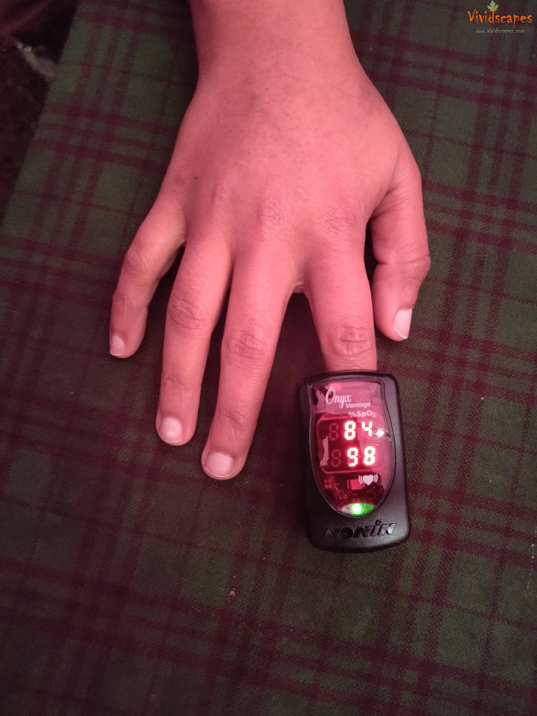
Heart Rate and Oxygen levels are checked twice daily to see how the body is adapting to the altitude.
Tasty lunch and dinner is provided at all the camps, the soups especially were very delicious, the only thing that might prevent you from enjoying them is the altitude that might lessen your appetite, but the guides tell us, you need to force yourselves to eat and drink to keep up with the energy needs.
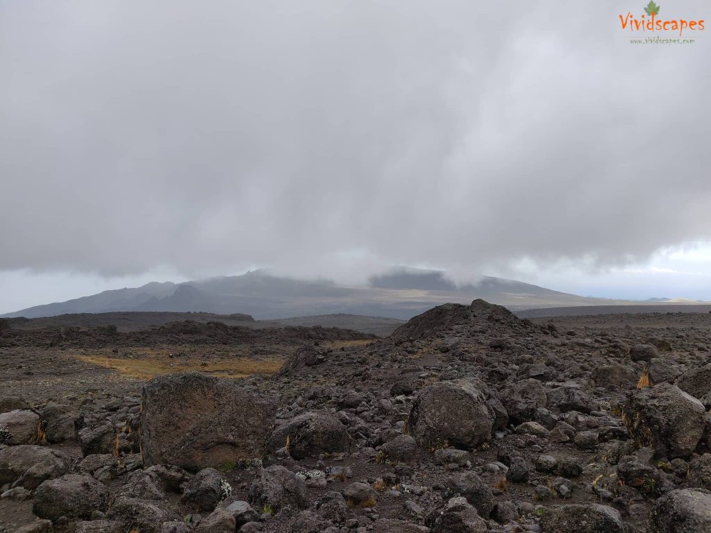
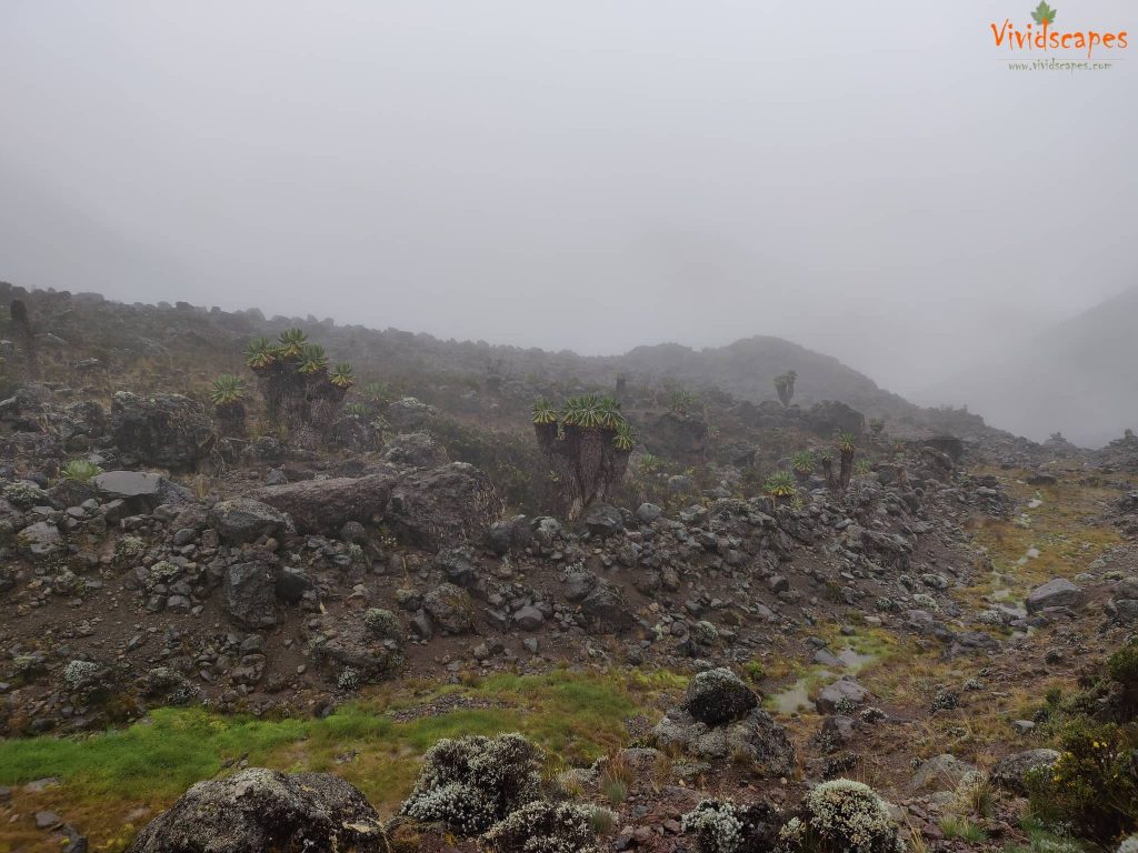
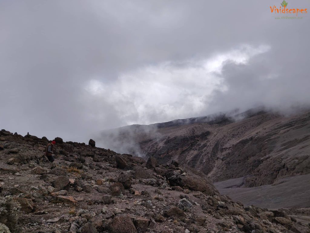
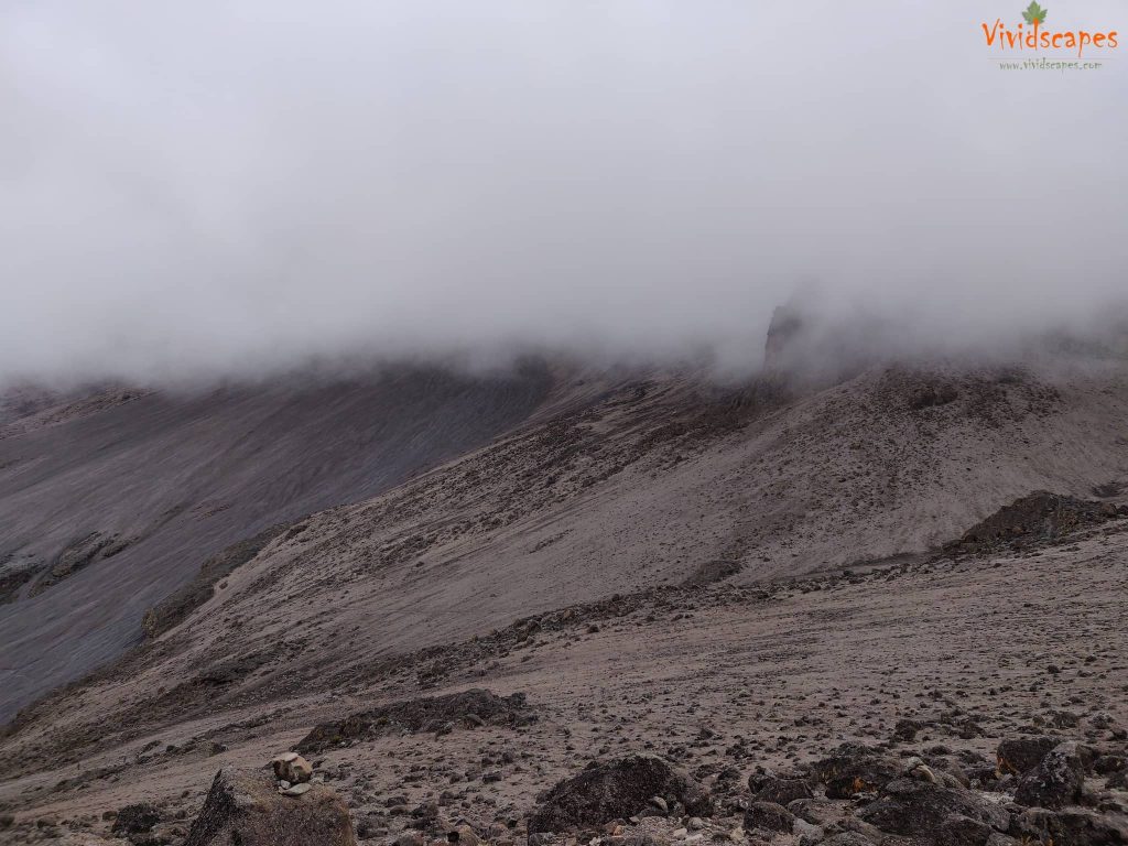
The days in the mountains will be quite varied, you will be hiking through lush vegetation to open desert like landscapes and as with any mountain, the weather will be unpredictable, we had ice rain, fog, wind and sun, all this in just a 10 minute span, so be prepared for such conditions.
Day by Day in Photographs
Come join us on the trek with day by day accounts with lots of photographs and spectacular vistas.
Here is our lovely map of the route we took step by step as recorded on Polarsteps.
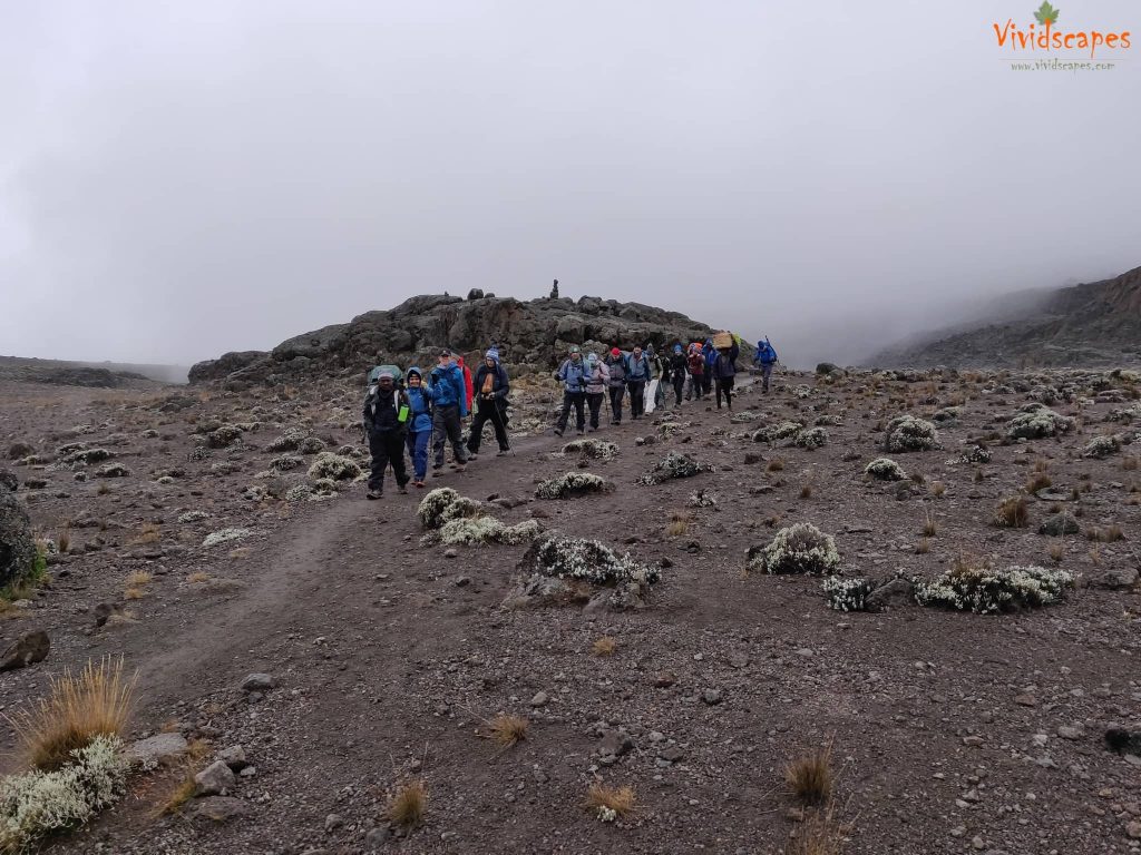
Over the next 7 days the most phrases you will be hearing over and over again and the guides will be around to reassure you on all these.. all the time….
Pole Pole… Slow pace or Slowly slowly.. the best way to conquer altitude.
Never ever ever ever give up…
Constant reminders to not forget to breathe and to drink lots of water.
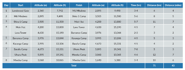
Day 1: Londorossi Gate to Mti Mkubwa
- Elevation: 7,742 ft to 9,498 ft
- Distance: 6 km | 4 miles
- Hiking Time: 3-4 hours
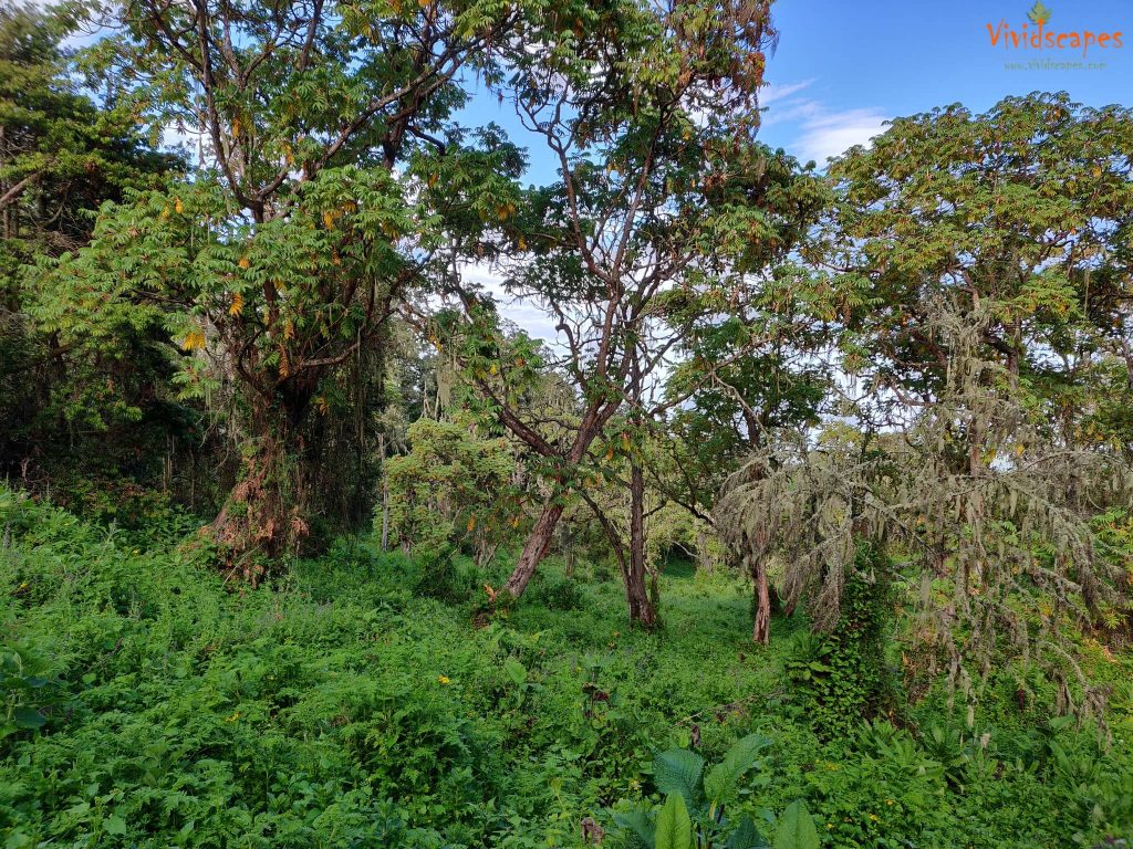
- Habitat: Rain Forest
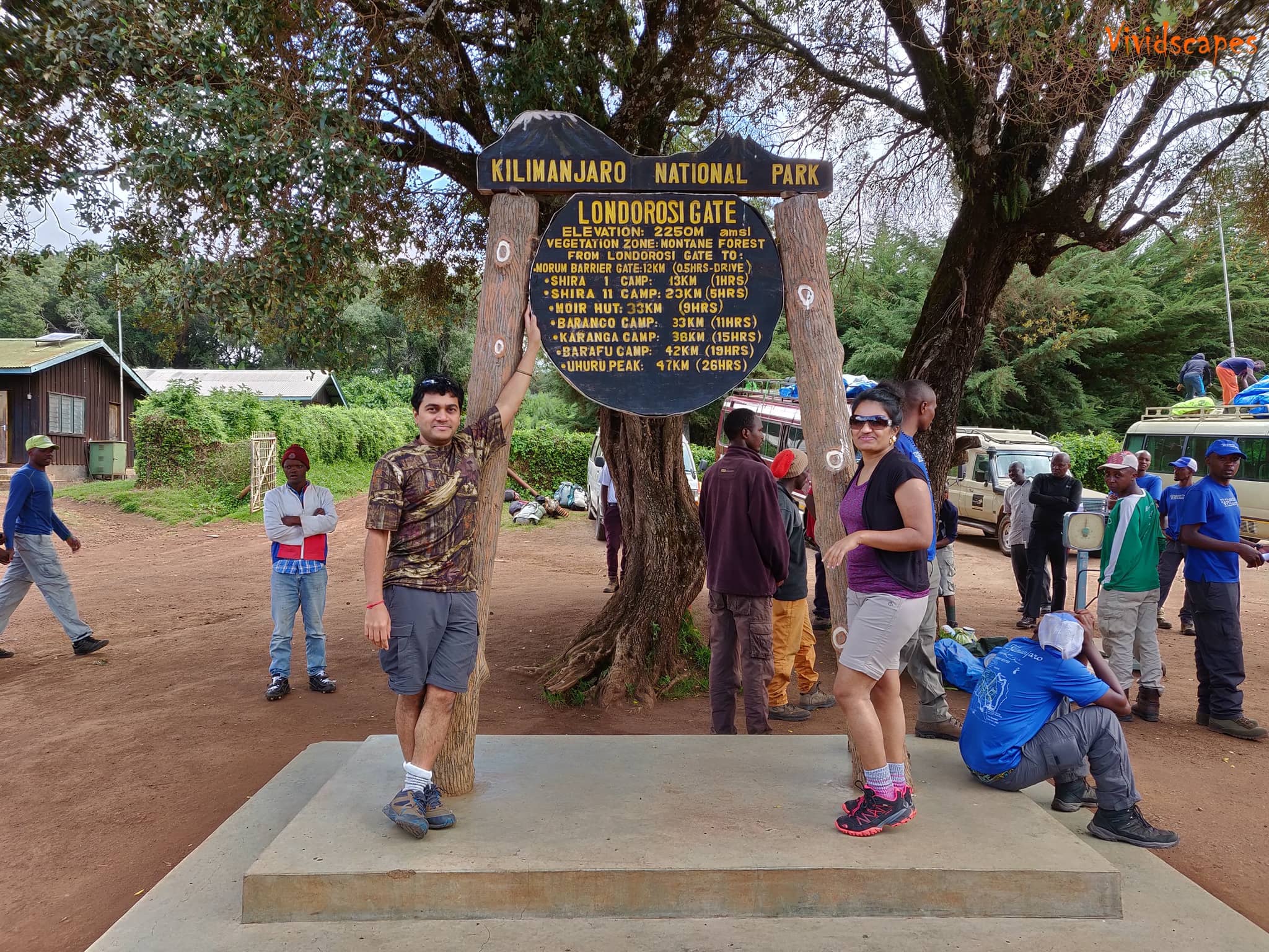
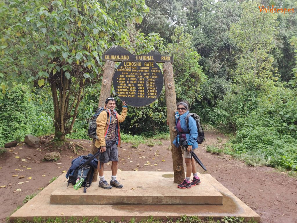
We departed Moshi for Londorossi Gate, which took about 4 hours on bumpy roads, we completed entry formalities here. Then we drove to the Lemosho trailhead. Upon arrival at trailhead, we began hiking through undisturbed forest which led us to our first campsite for the night.
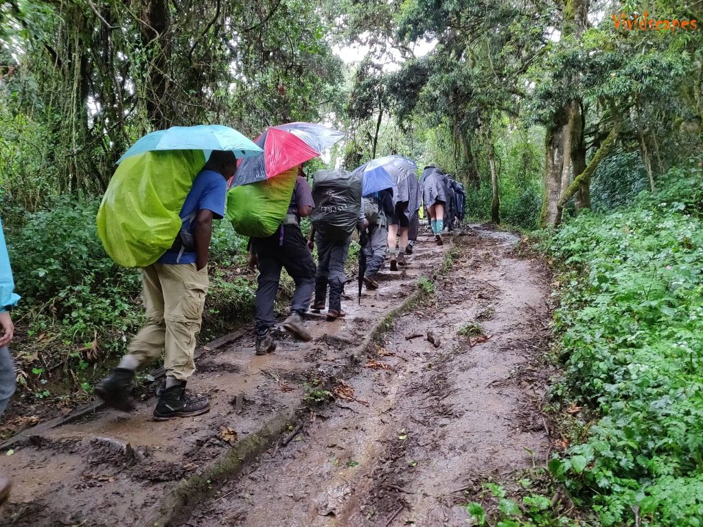
On the trail we saw blue monkeys, birds, bats and white and black tailed monkeys too. Being a rain forest and true to its name, it rained most of the time on the trail and all our gear a bit damp from the wetness.
Well rested for the next day
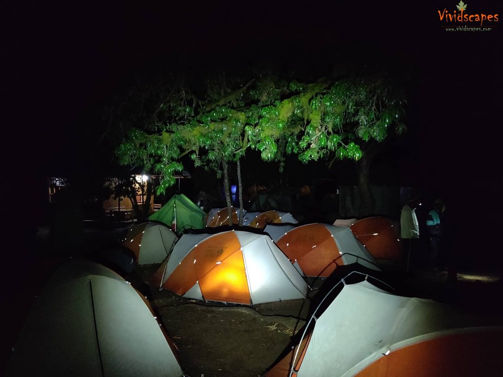
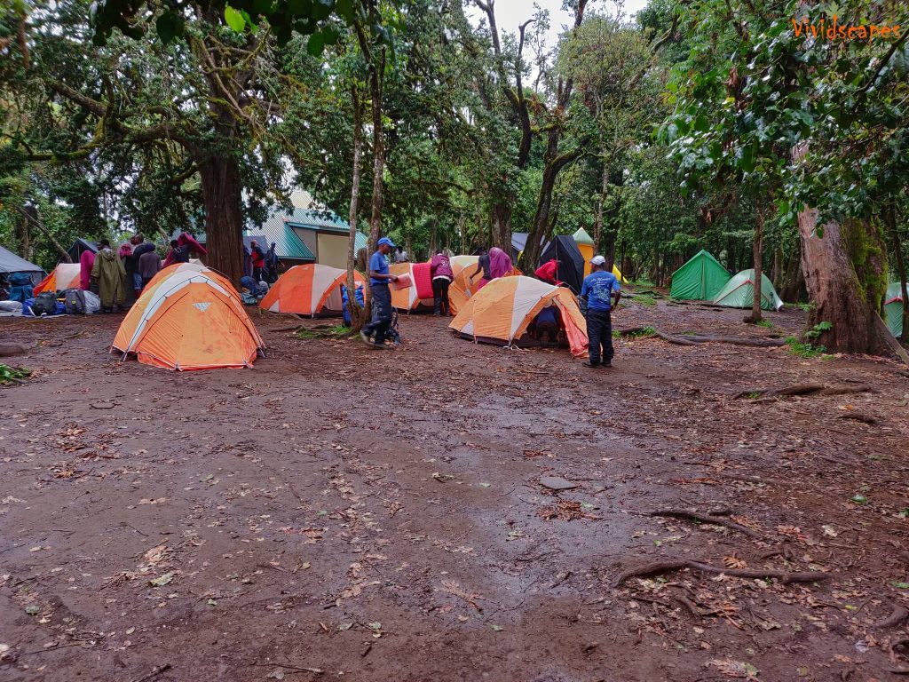
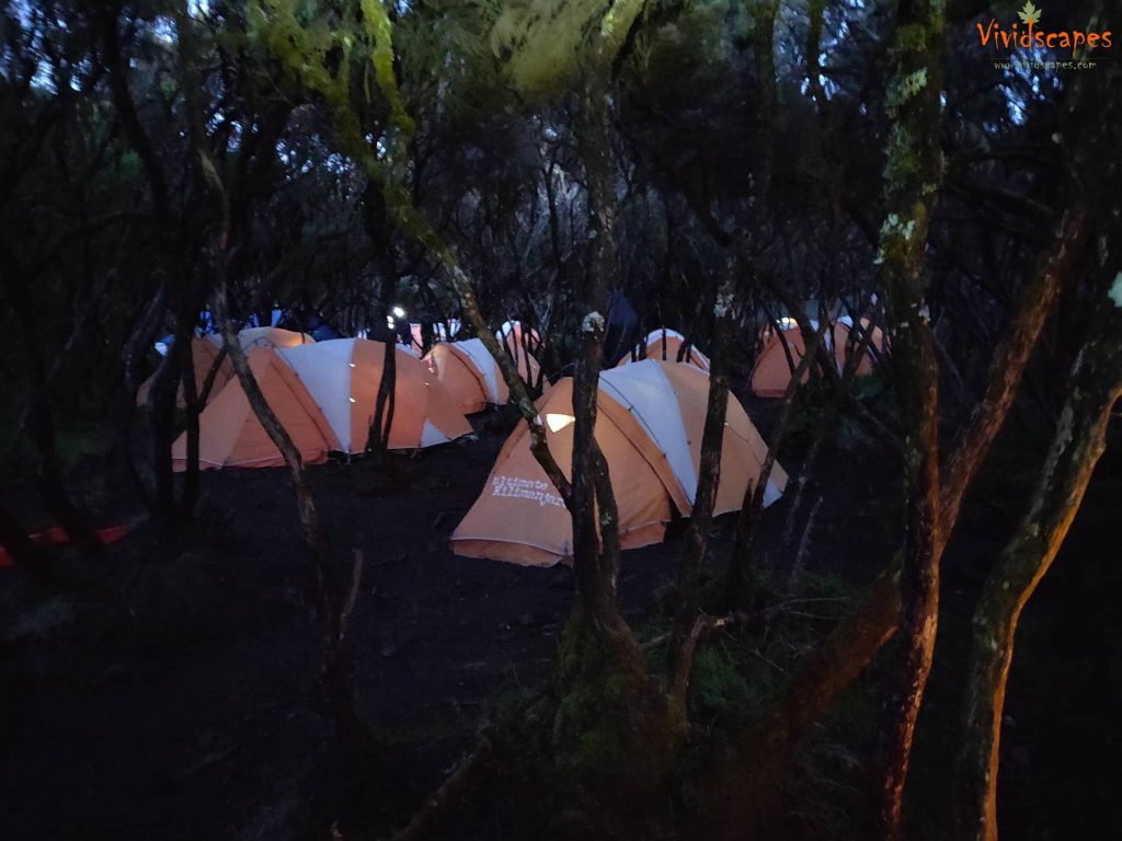
Setting up camp for the night at Mti Mkubwa
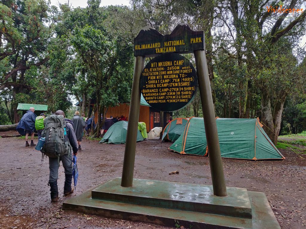
Mti Mkubwa camp
Rain is a common occurrence in this area.
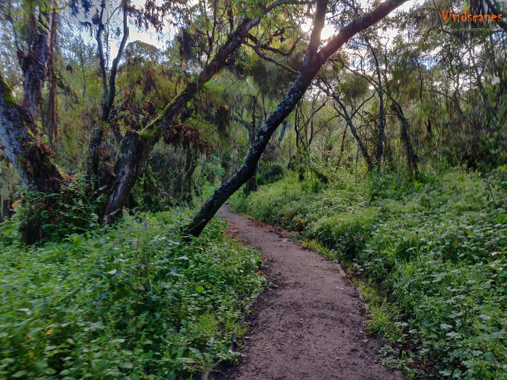
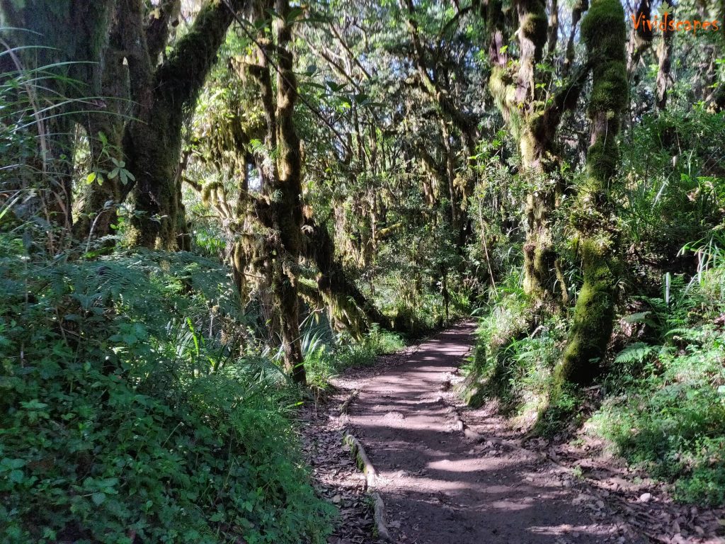
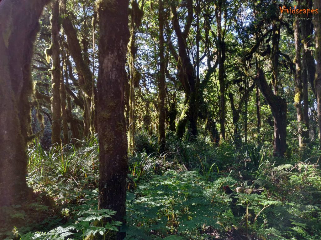
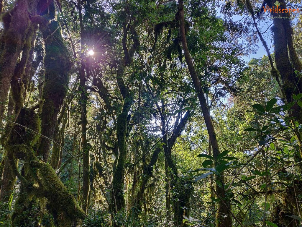
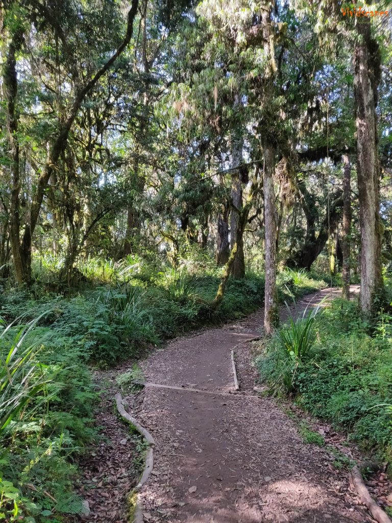
Hike through the lush green rainforests
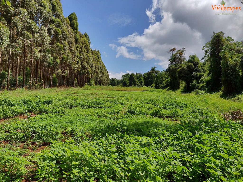
Beautiful greens on the way to Londorossi gate
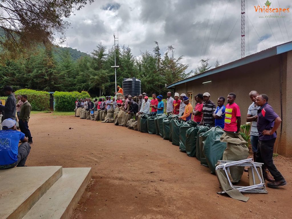
Porters bags being weighed before the start of the hike
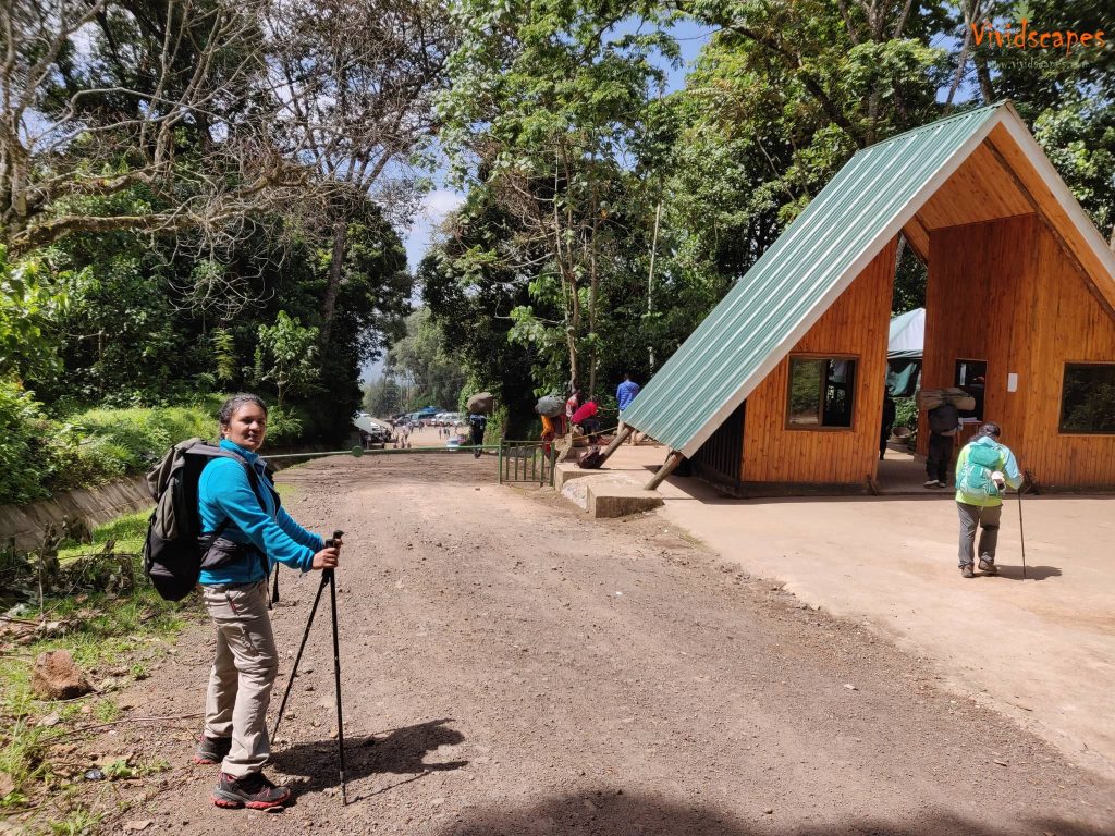
The adventure starts here from from the Lemosho Gate
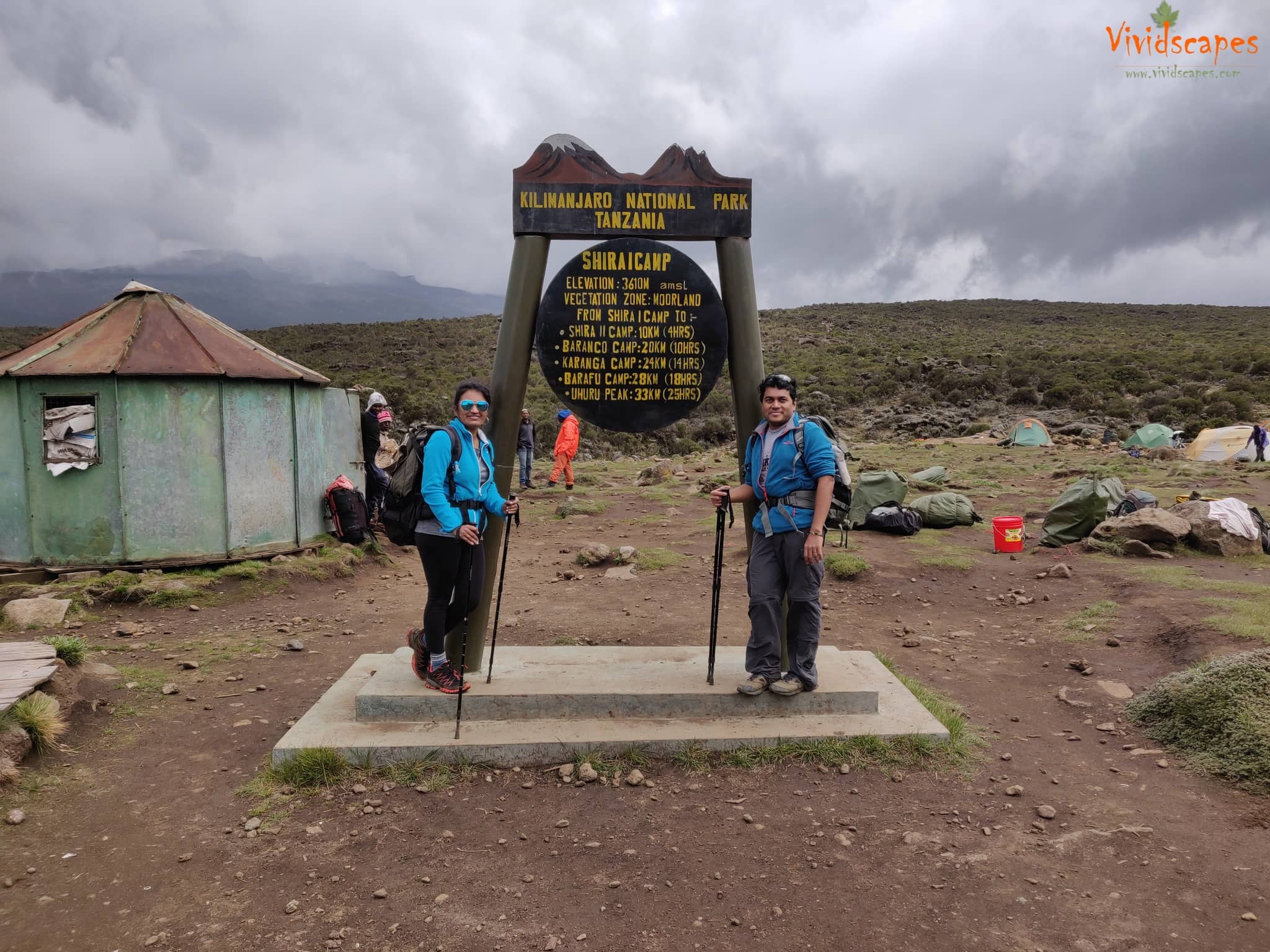
Day 2: Mti Mkubwa to Shira 1 Camp
- Elevation: 9,498 ft to 11,500 ft
- Distance: 8 km | 5 miles
- Hiking Time: 5-6 hours
- Habitat: Heath
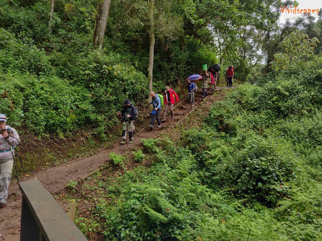
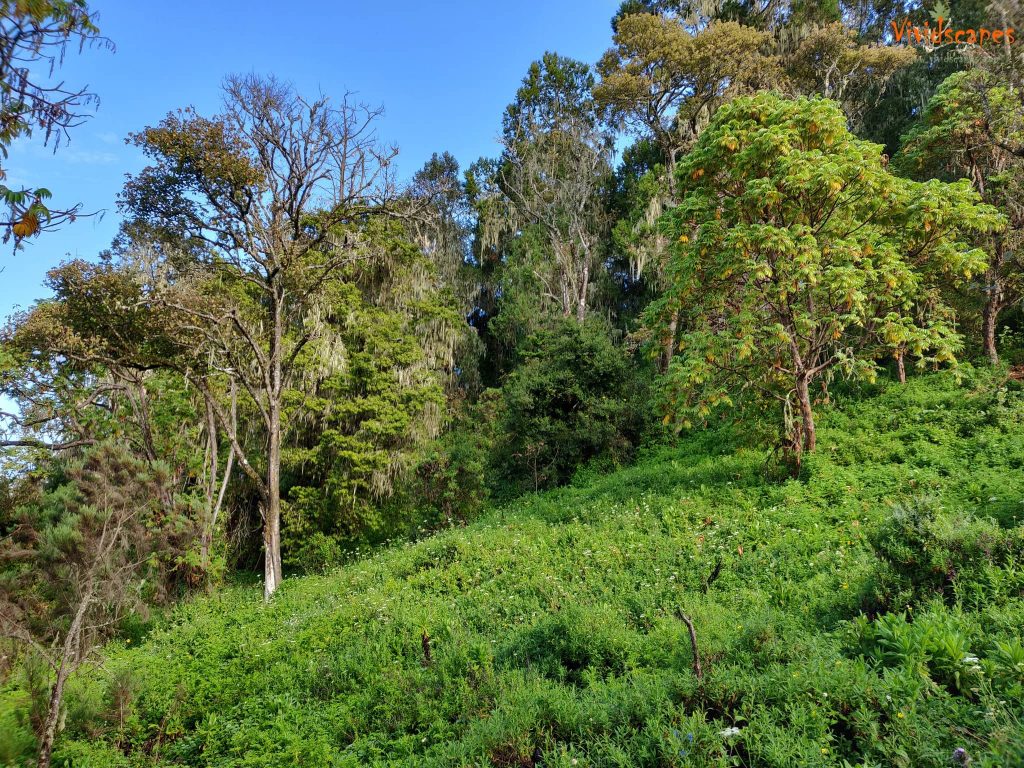
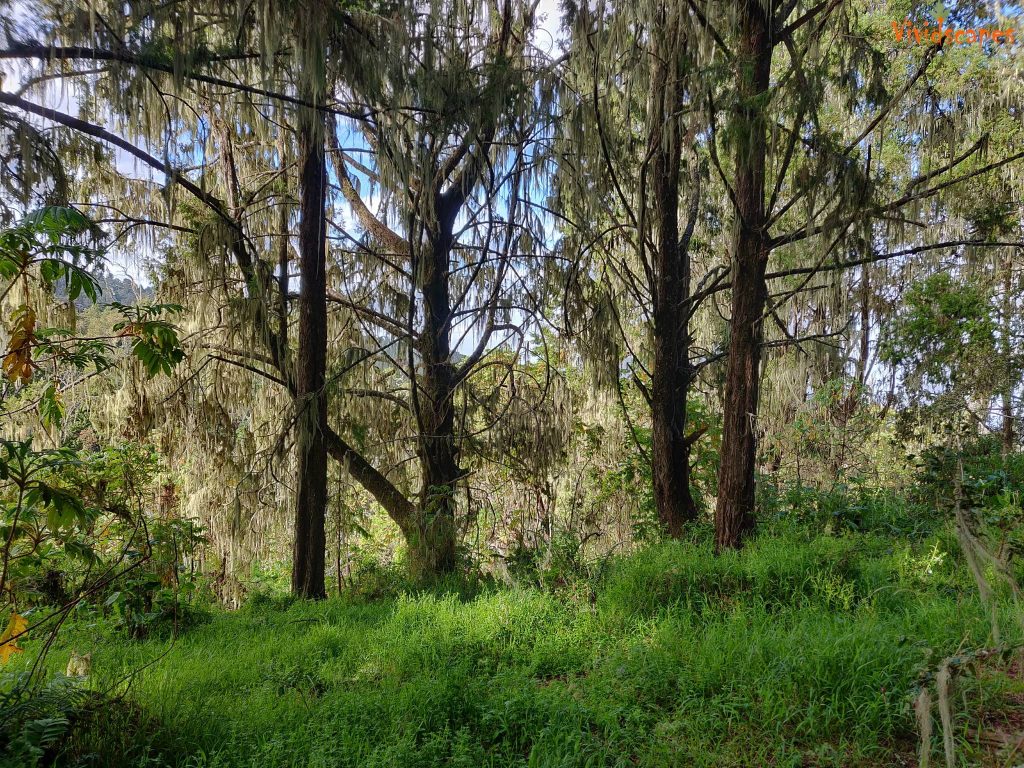
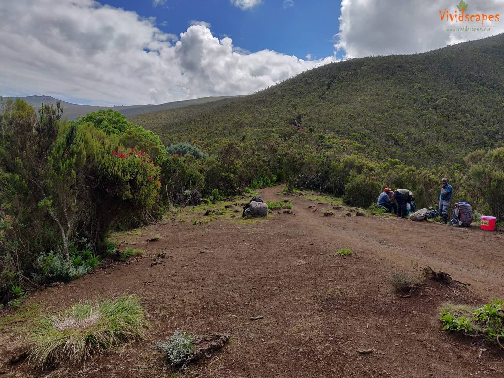
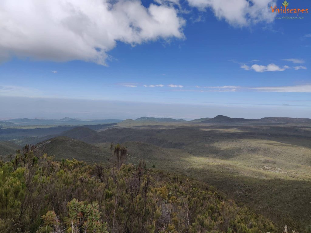
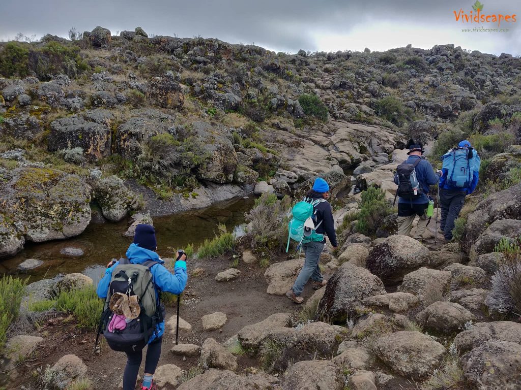
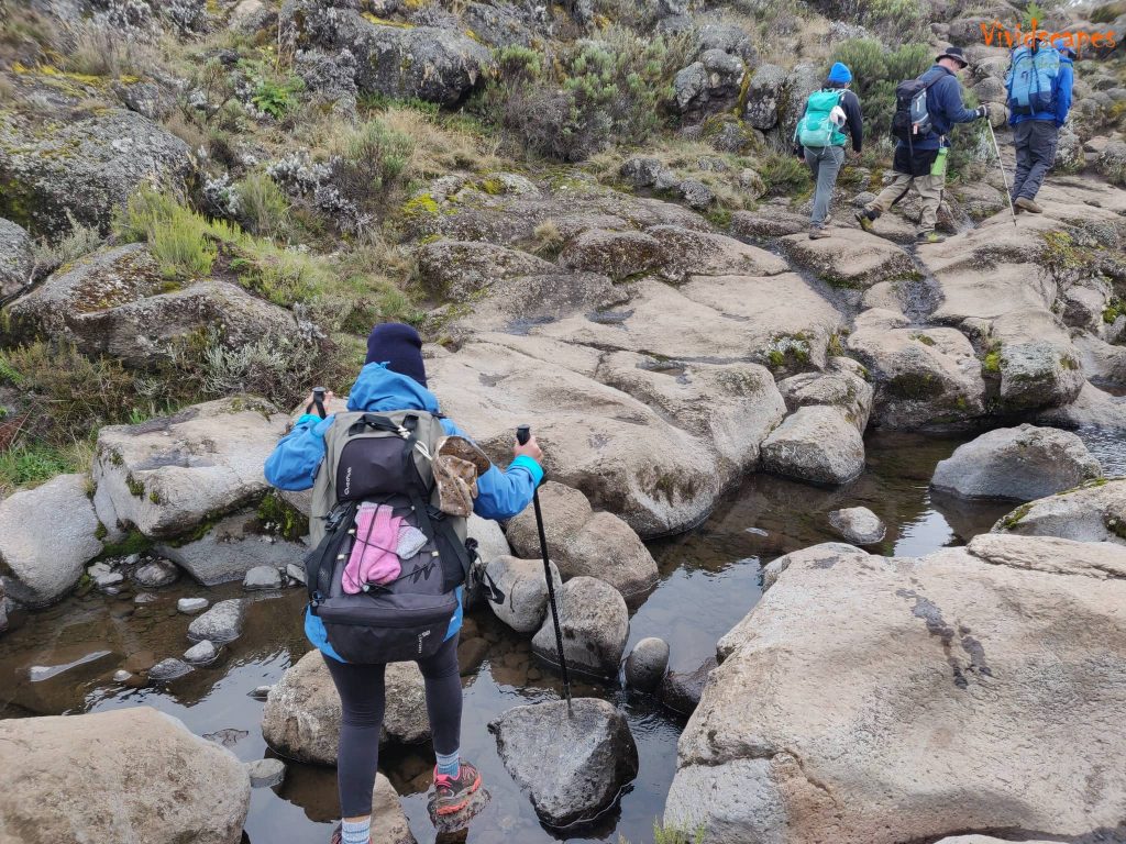
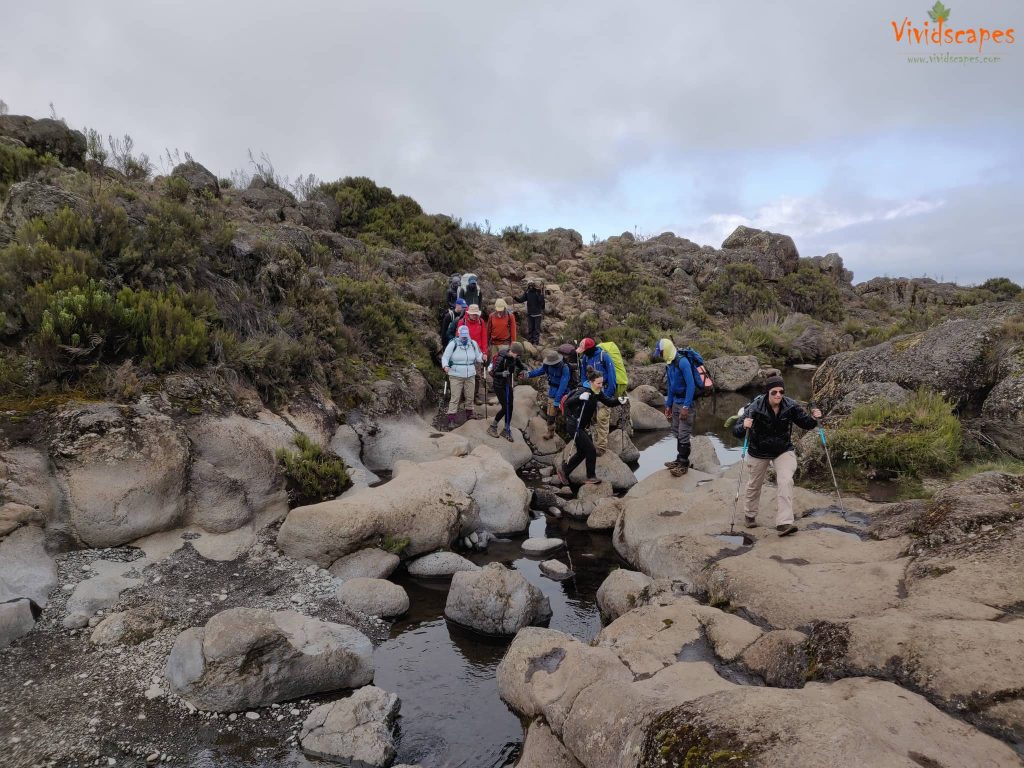
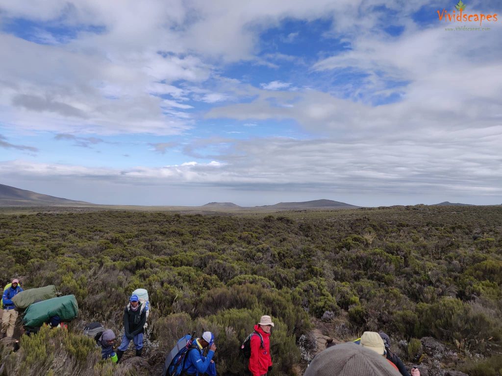
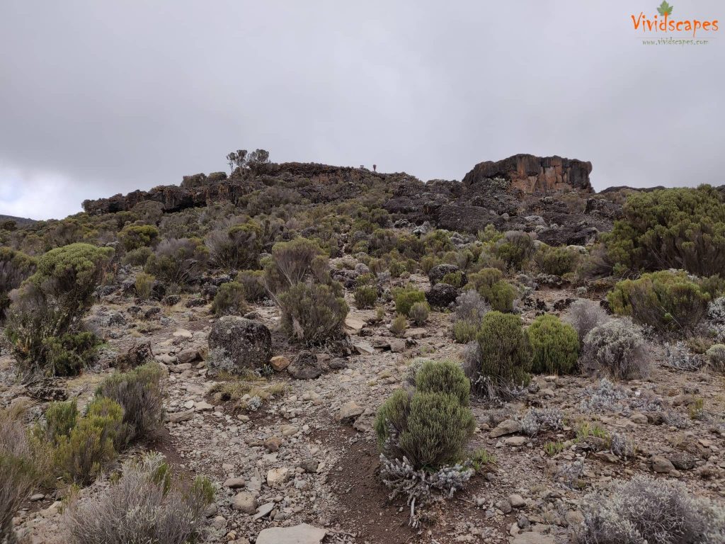
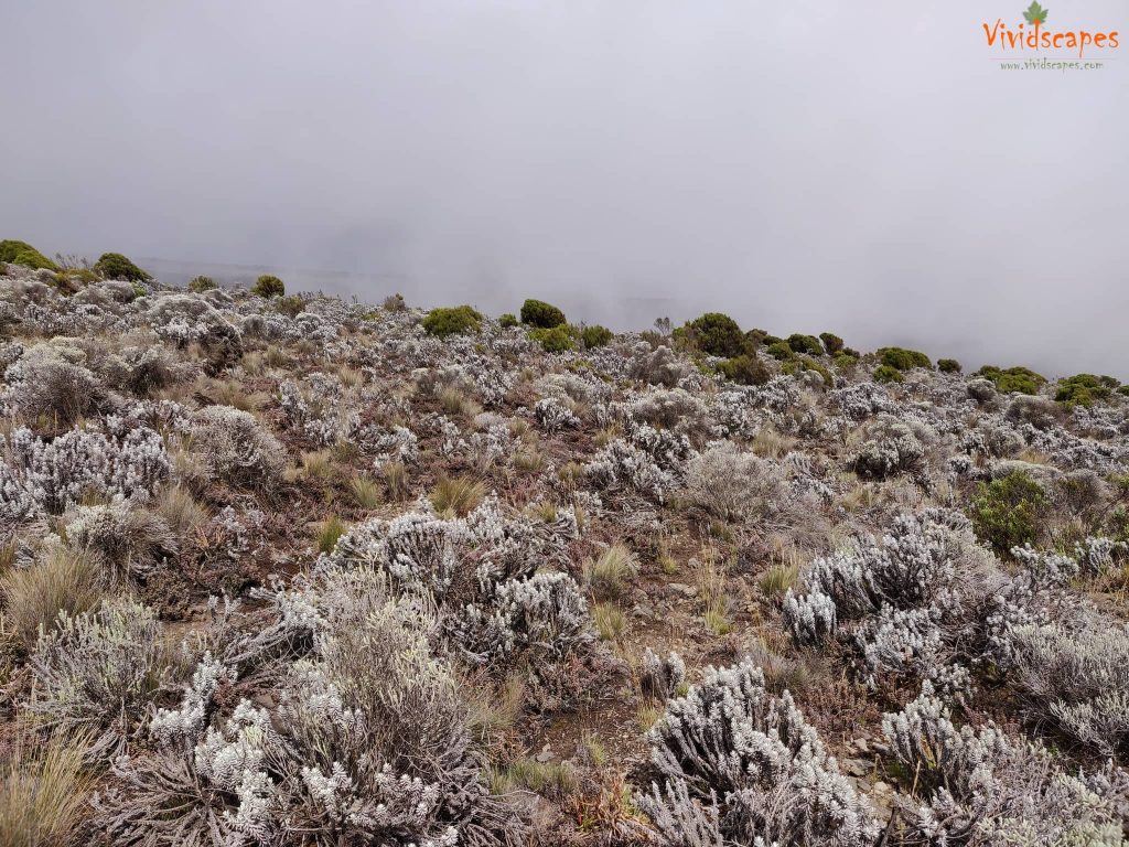
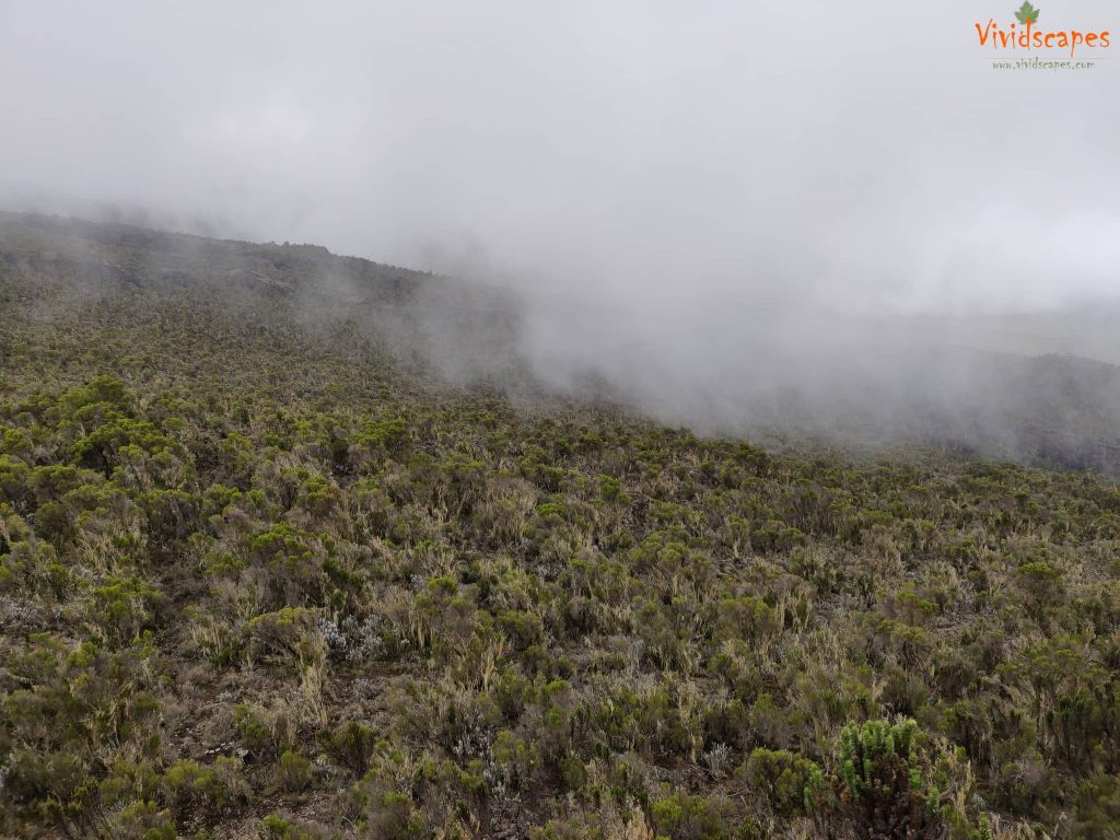
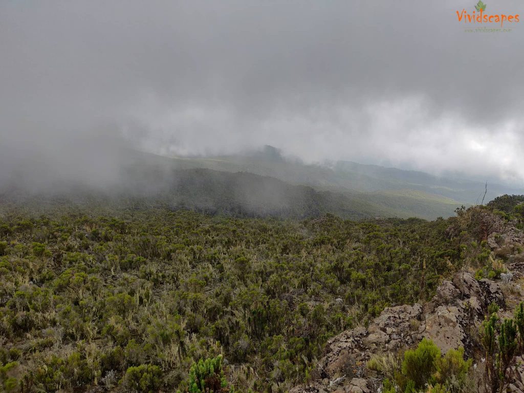
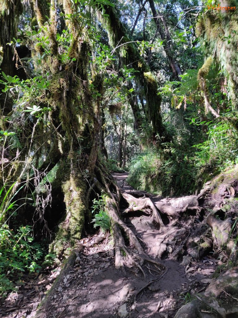
We continue on the trail leading out of the rainforest and into a savannah of tall grasses, heather and volcanic rock draped with lichen beards. We ascend through lush rolling hills crossing several small streams.
it was a long walk today going up steep path few times over the Shira ridge and finally a gentle down to Shira 1 camp, our first glimpse of Kibo across the plateau.
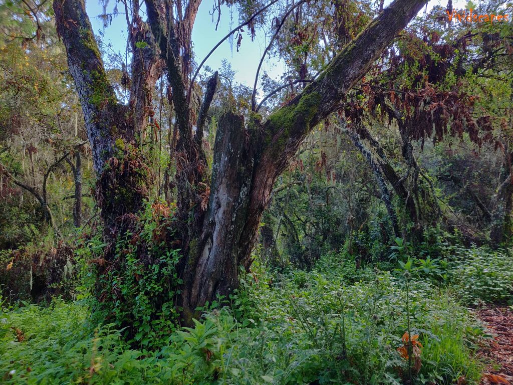
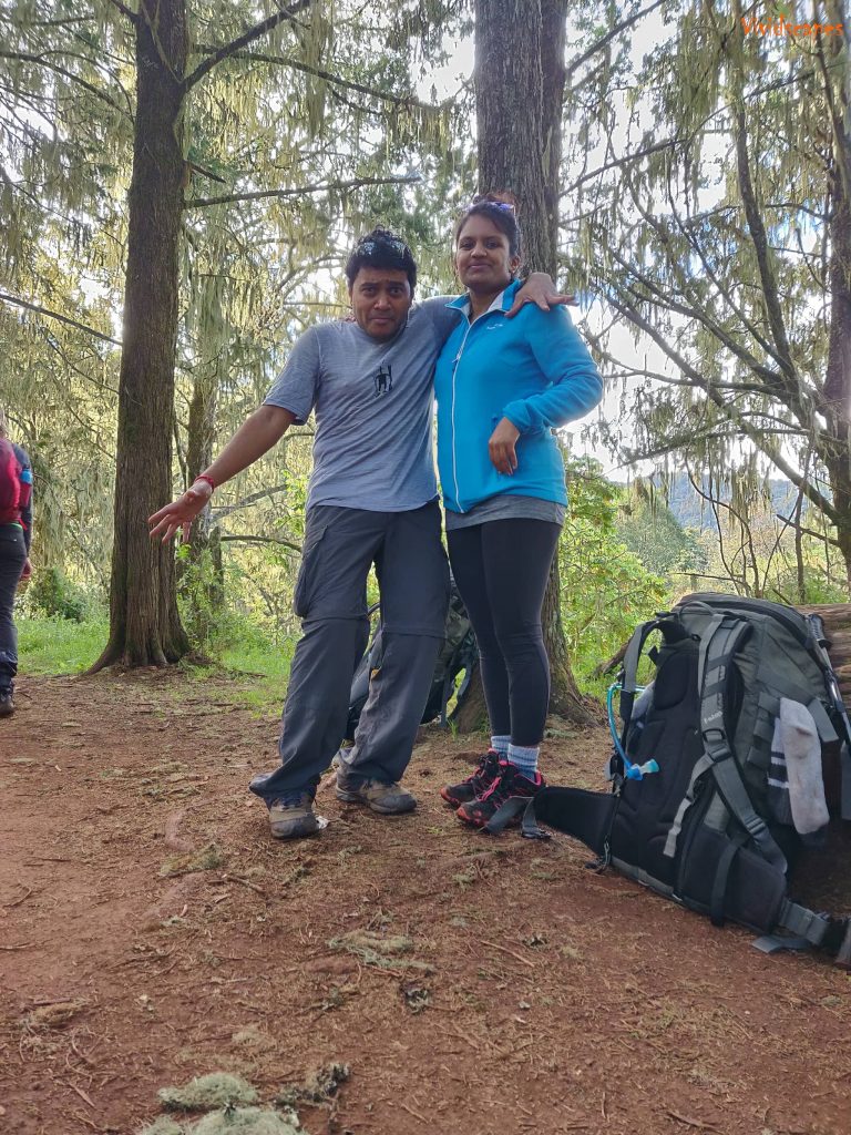
Rain forest trail draped in lichen beards
Rain forest trail draped in lichen beards
Lush green trees open up along the trail
Lush green trees open up along the trail
You can even spot blue monkeys and other wildlife and birds.
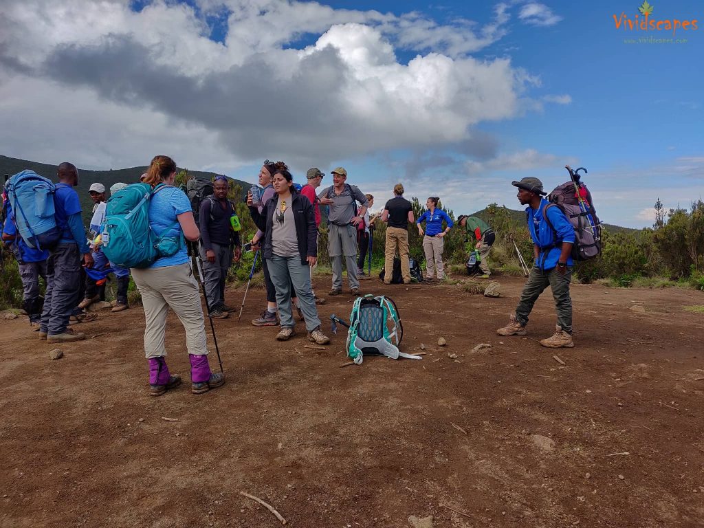
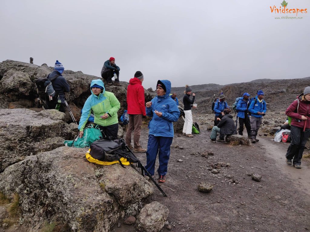
A rest stop on the way.
Trail up the Shira Ridge
Another stop to get some breath and take in the views of the Trail up the Shira Ridge
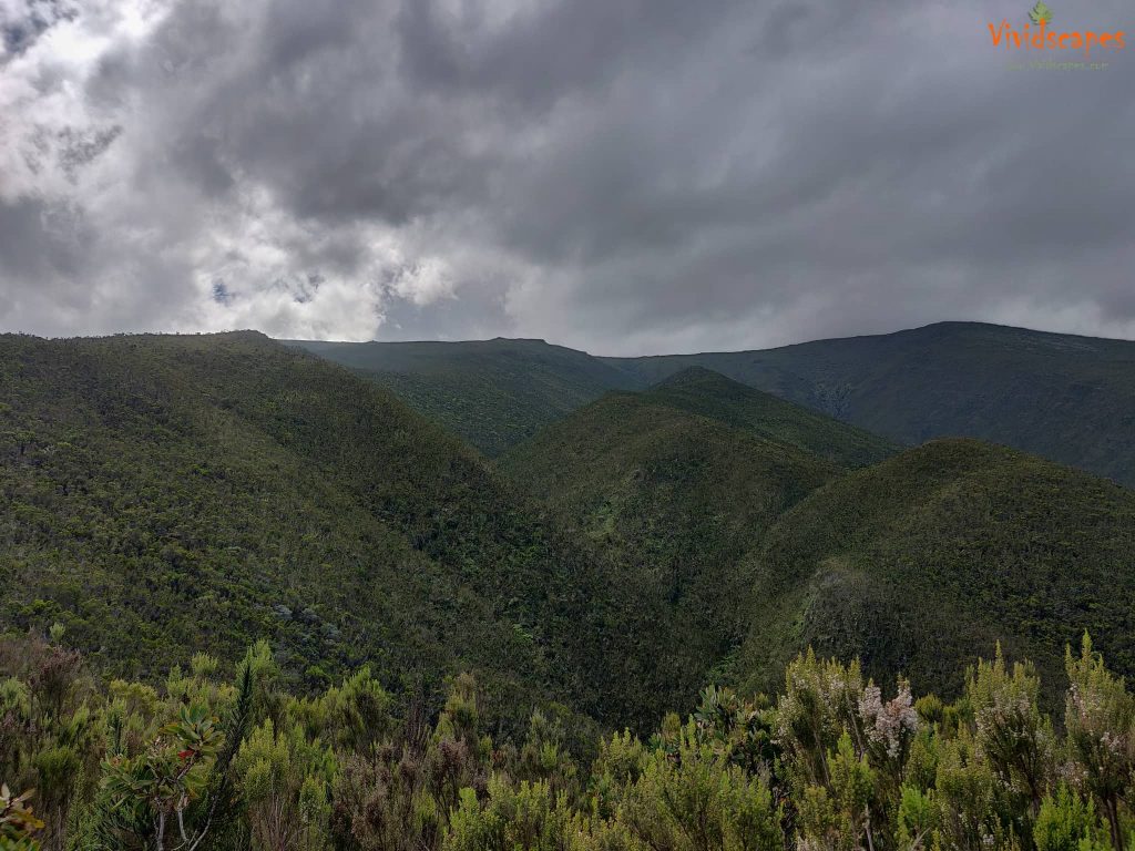
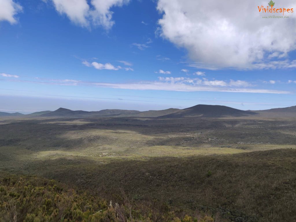
Beautiful view looking from the Shira Ridge
Beautiful view looking from the Shira Ridge
Beautiful view looking from the Shira Ridge
Day 3: Shira 1 Camp to Moir Hut
- Elevation: 11,500 ft to 13,800 ft
- Distance: 11 km | 7 miles
- Hiking Time: 5-7 hours
- Habitat: Heath
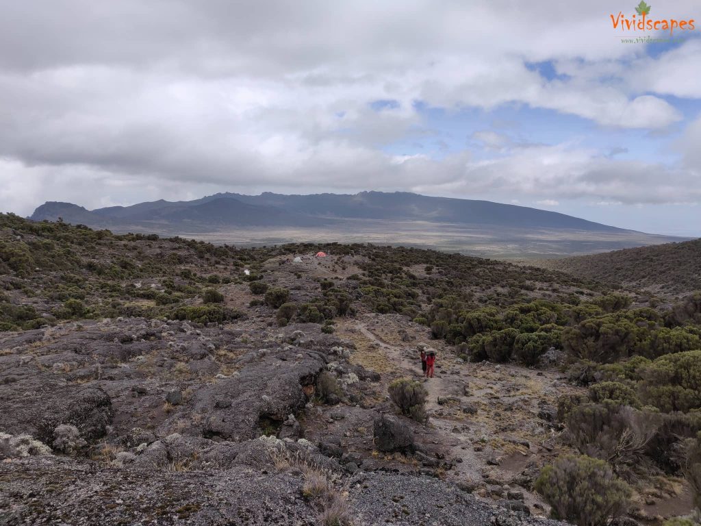
We explored the Shira Plateau, one of the highest plateaus on earth, for a full day. It was a gentle walk east on moorland meadows towards Shira 2 Camp. The day was relatively easy with gentle ups and downs and we camped for the night at the base of Lent hills at Moir Hut, this was a little less used campsites and a good place to overnight and to acclimatise.
Enroute Shira 1 Camp to Moir Hut
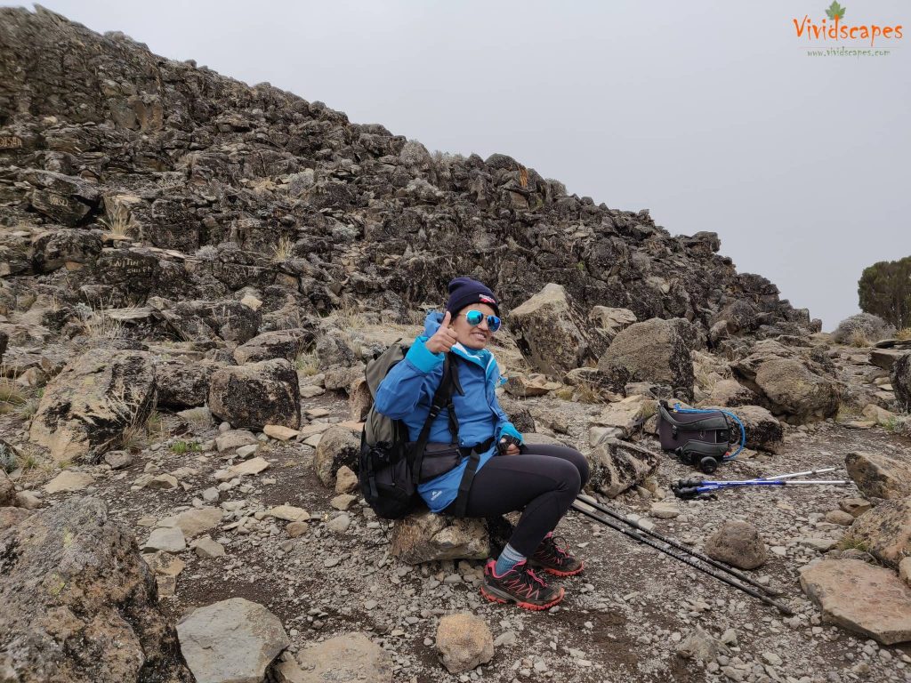
Break time, all is good.
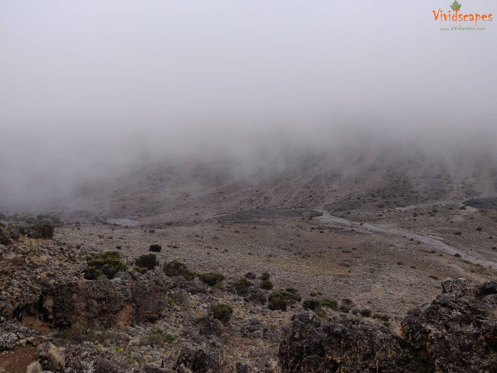
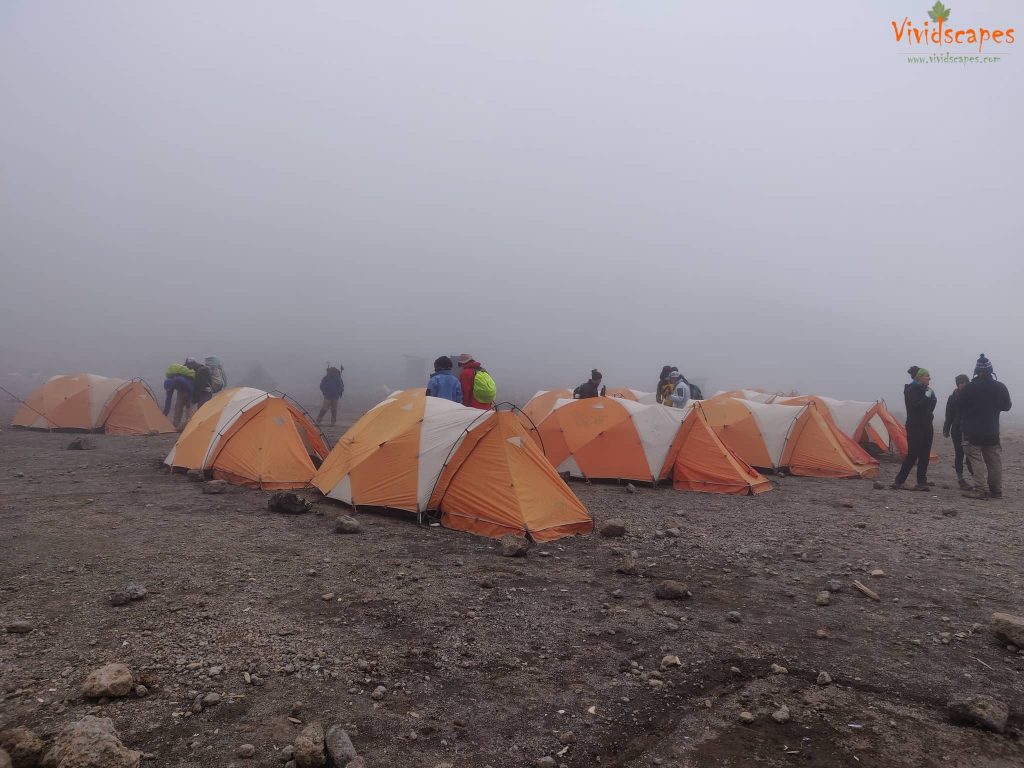
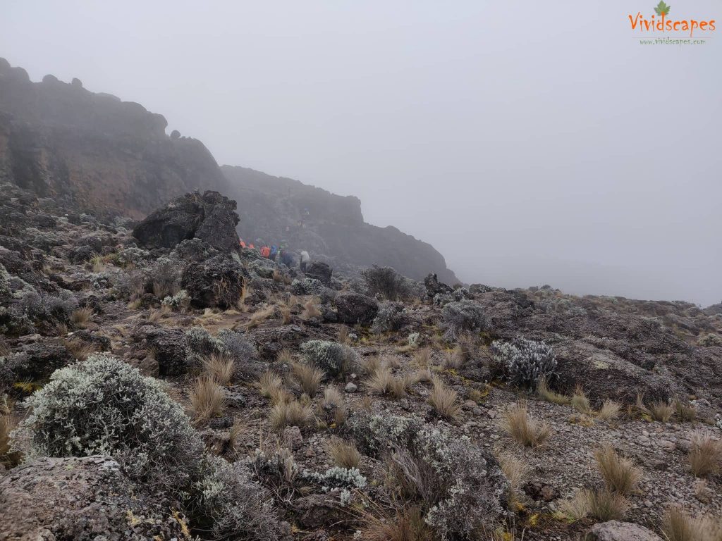
Fog around the camp at the base of the lent hills
Water from the stream is used for drinking and cooking at the site
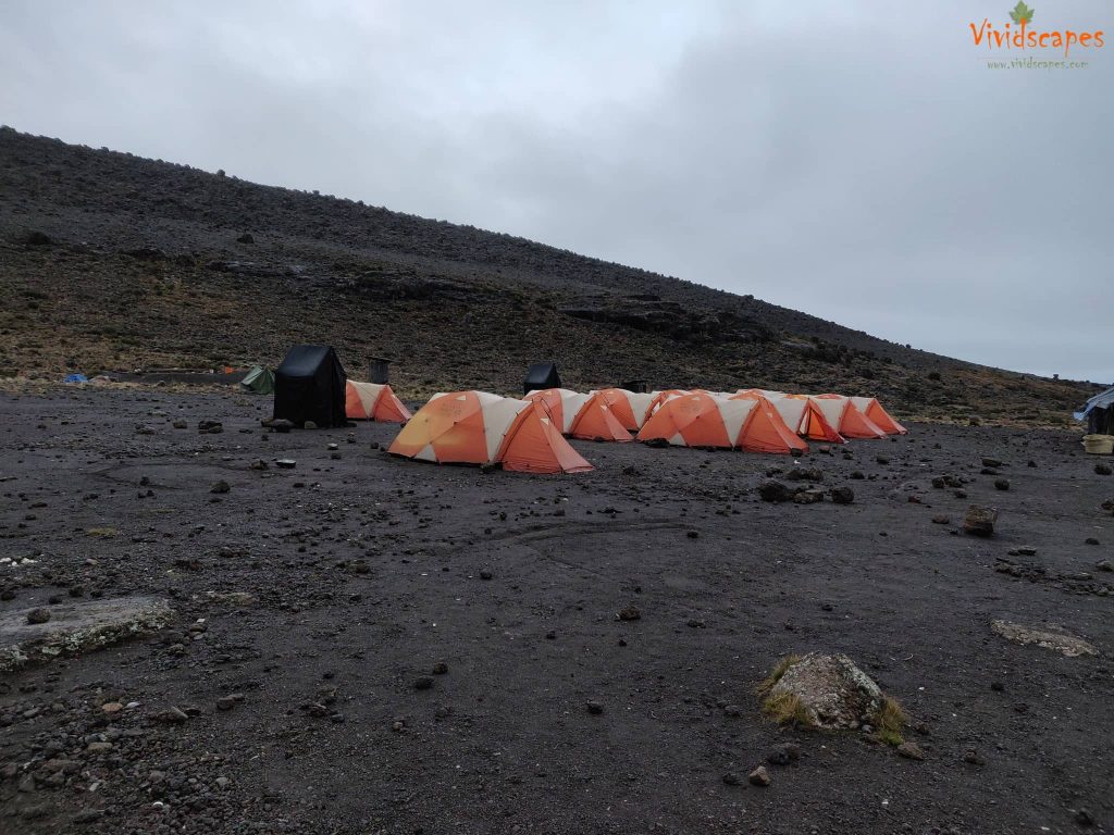
Our tents ready at the Moir hut site
Day 4:Moir Hut to Lava Tower to Barranco Camp
Moir Hut to Lava Tower
- Elevation: 13,800 ft to 15,190 ft
- Distance: 7 km | 4 miles
- Hiking Time: 4-5 hours
- Habitat: Alpine Desert
Lava Tower to Barranco Camp
- Elevation: 15,190 ft to 13,044 ft
- Distance: 3 km | 2 miles
- Hiking Time: 2-3 hours
- Habitat: Alpine Desert
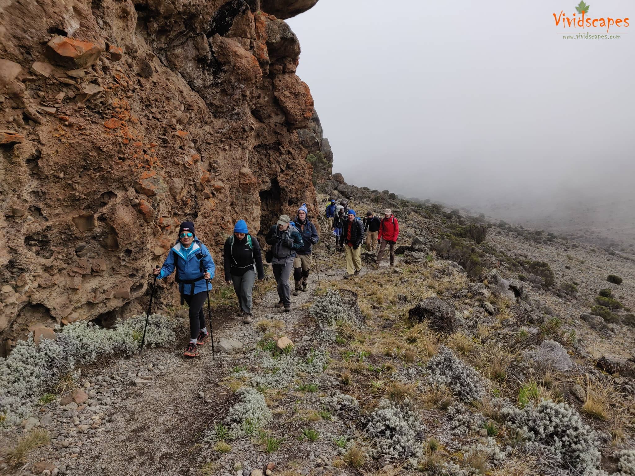
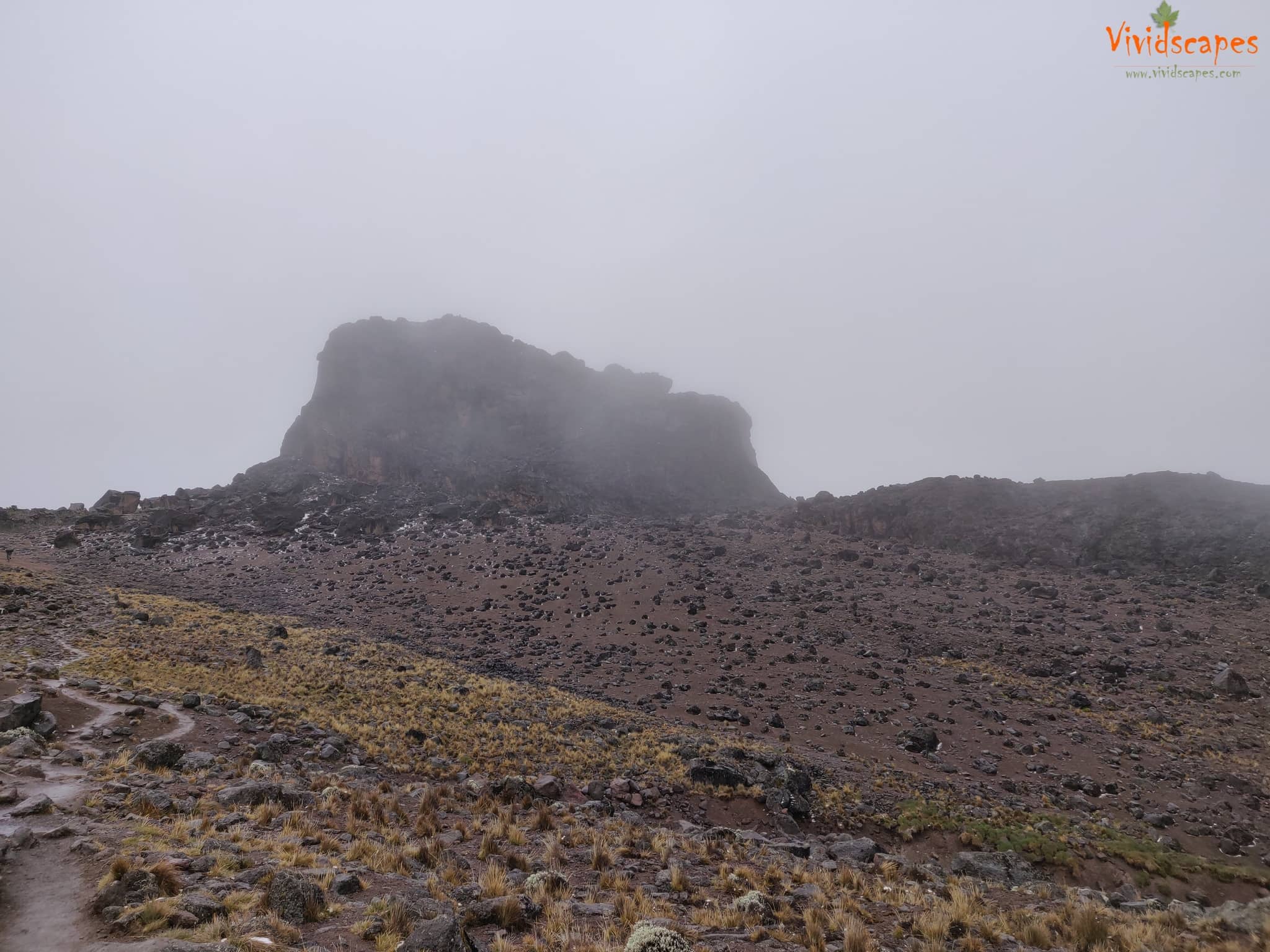
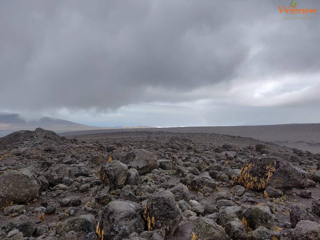
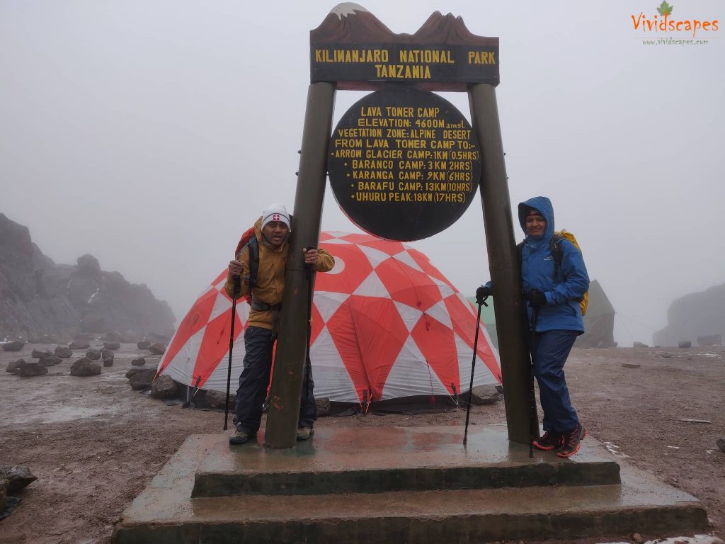
We began the day climbing up a ridge and then southeast towards the Lava Tower – a 300 ft tall volcanic rock formation.
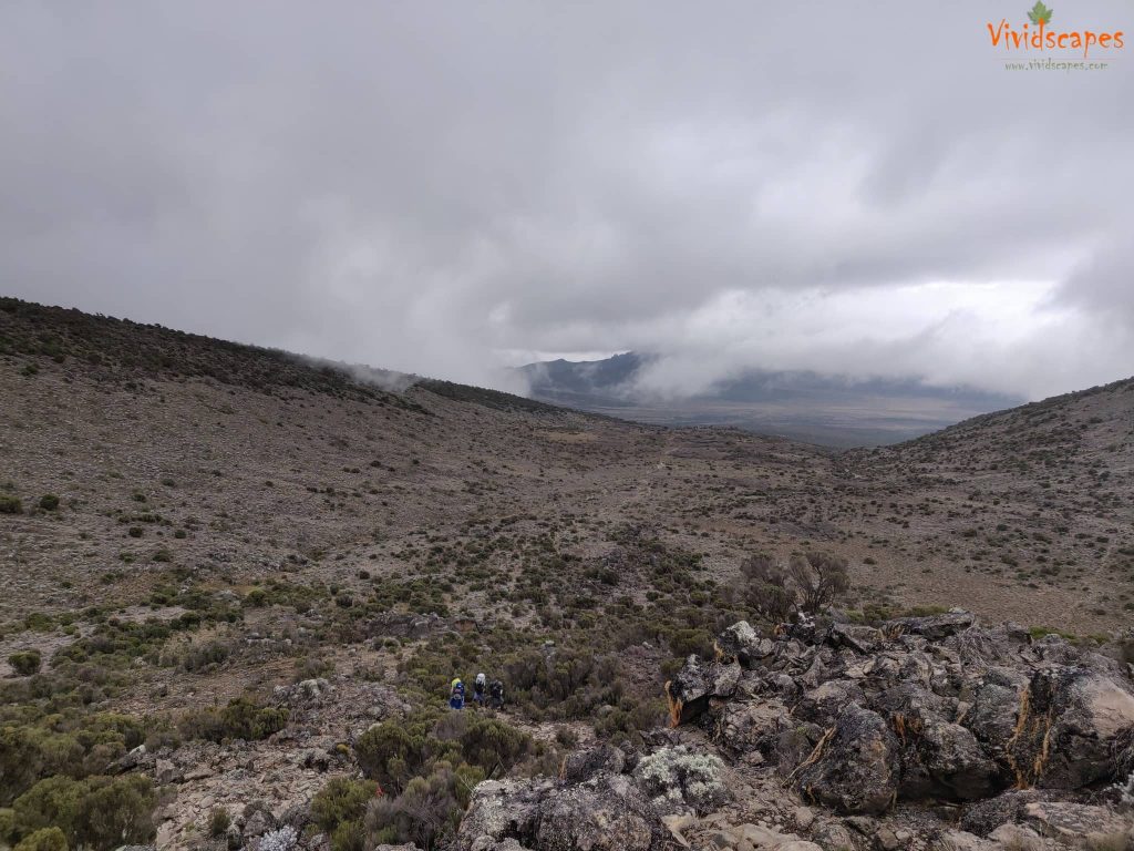
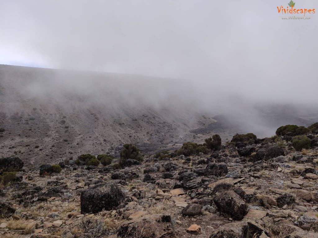
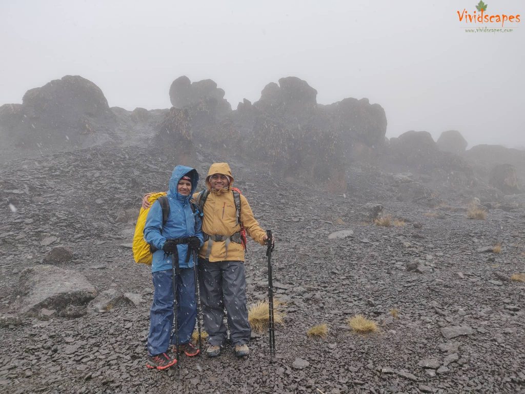
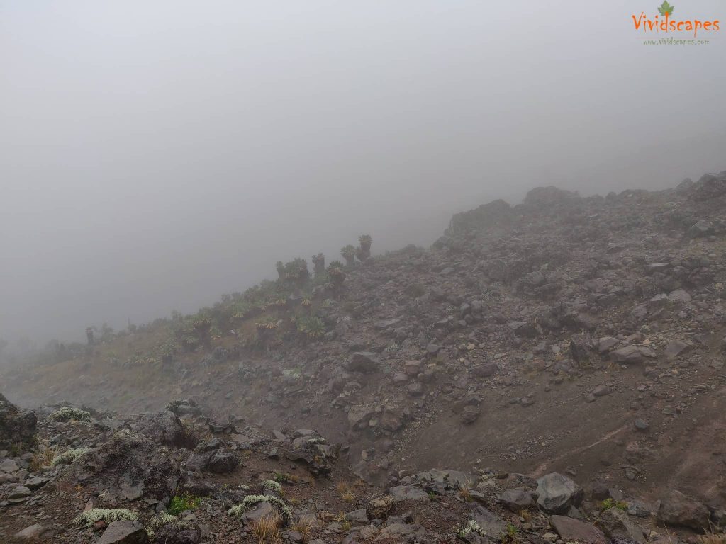
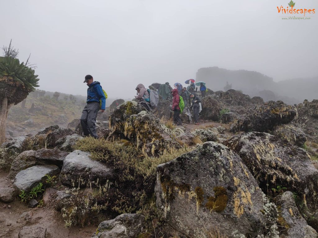
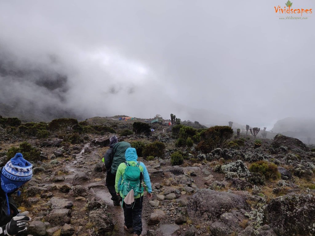
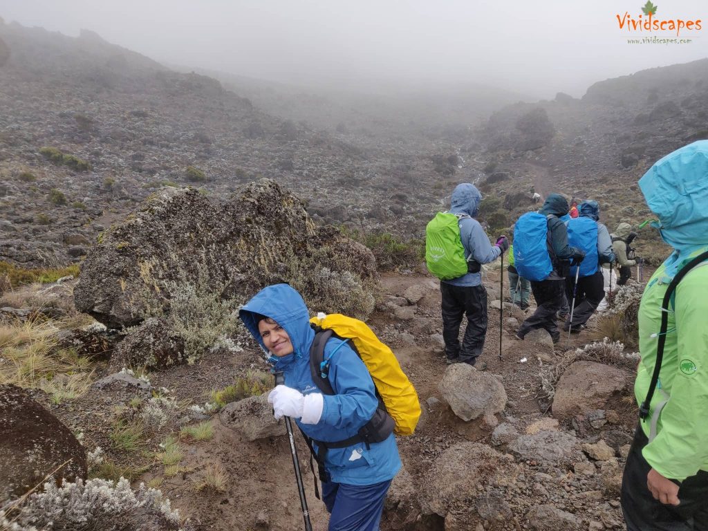
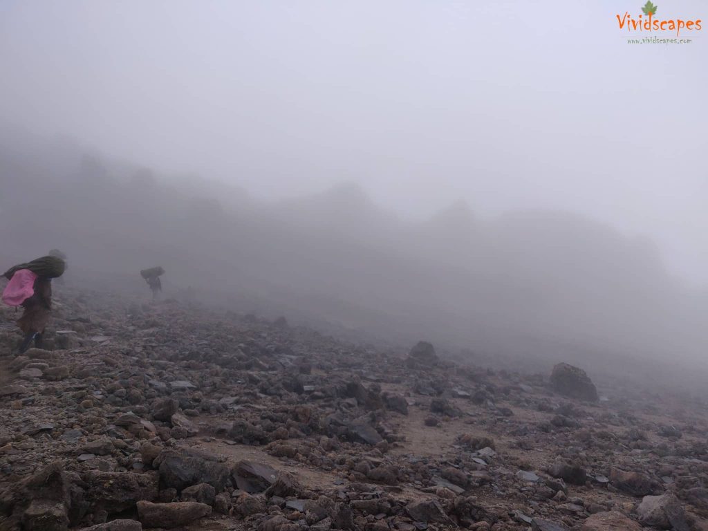
This was one of the tough days till now, the ice rain and wind did not help either We reached the lava tower and had lunch, the whole place was slushy due to the non stop rain and most of us were in low mood too, felt a bit light headed and a slight headache due to the altitude.
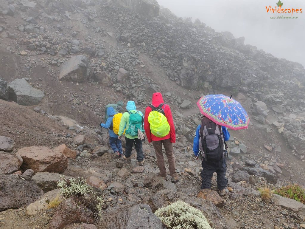
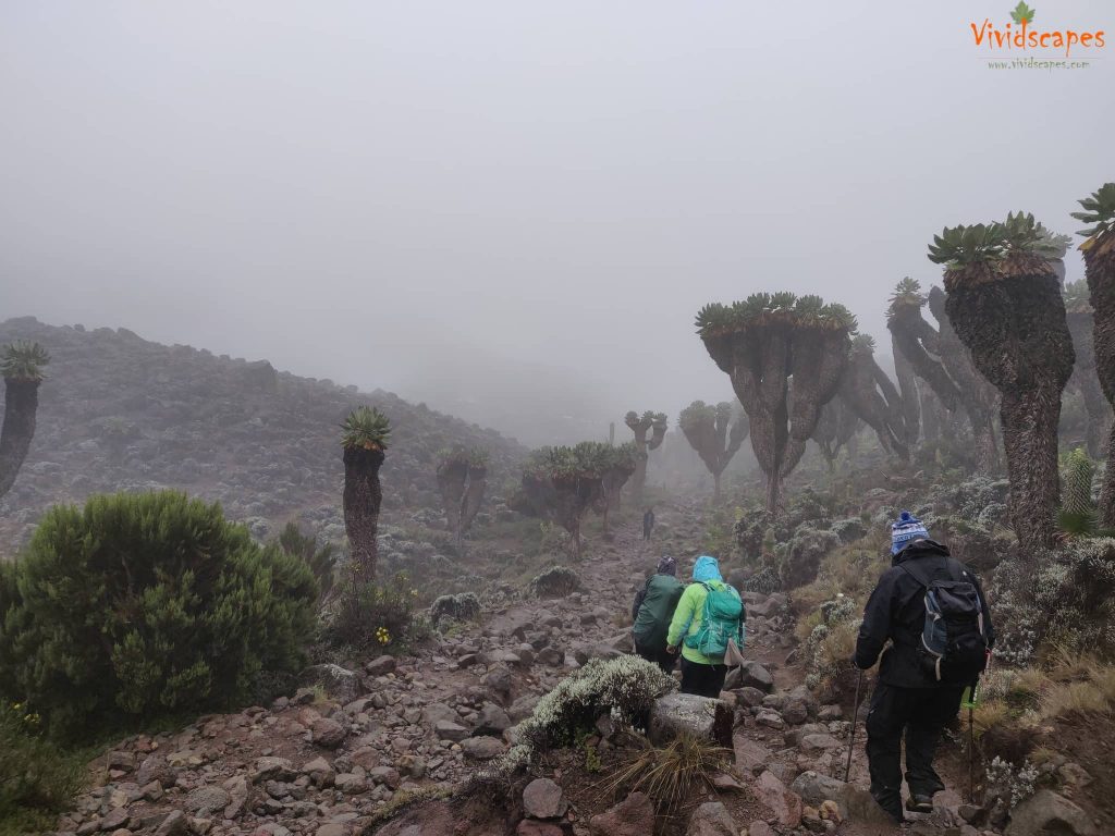
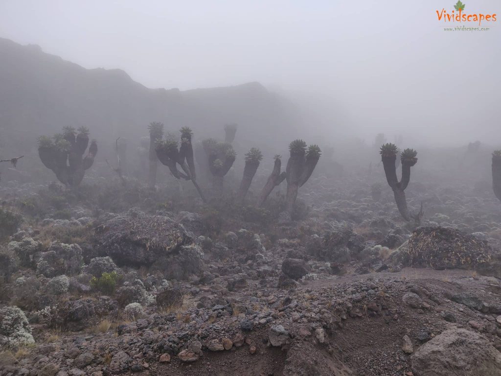
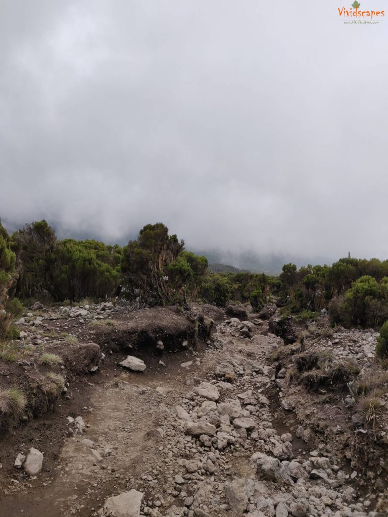
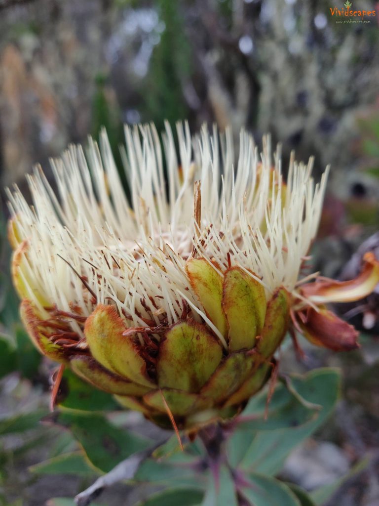
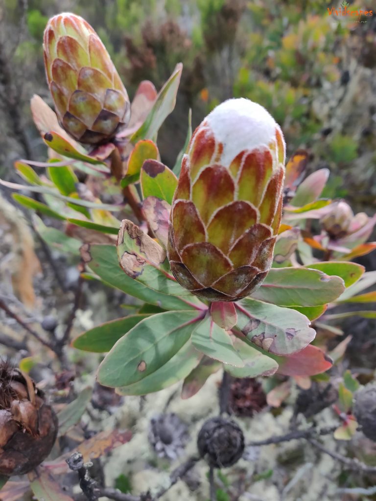
We had to then walk another few hours to barranco camp and there was no sign of the rain stopping anytime soon. The rocky path was so hard on the knees. We almost gave up on that day. The path down from lava tower was spectacular, we saw beautiful alpine plants and colourful pine cones.
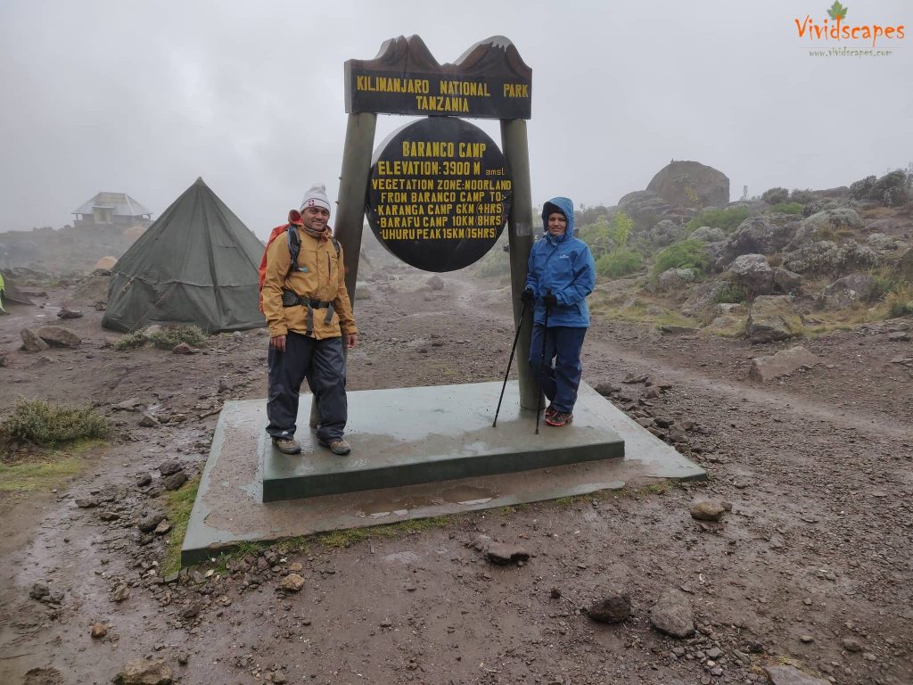
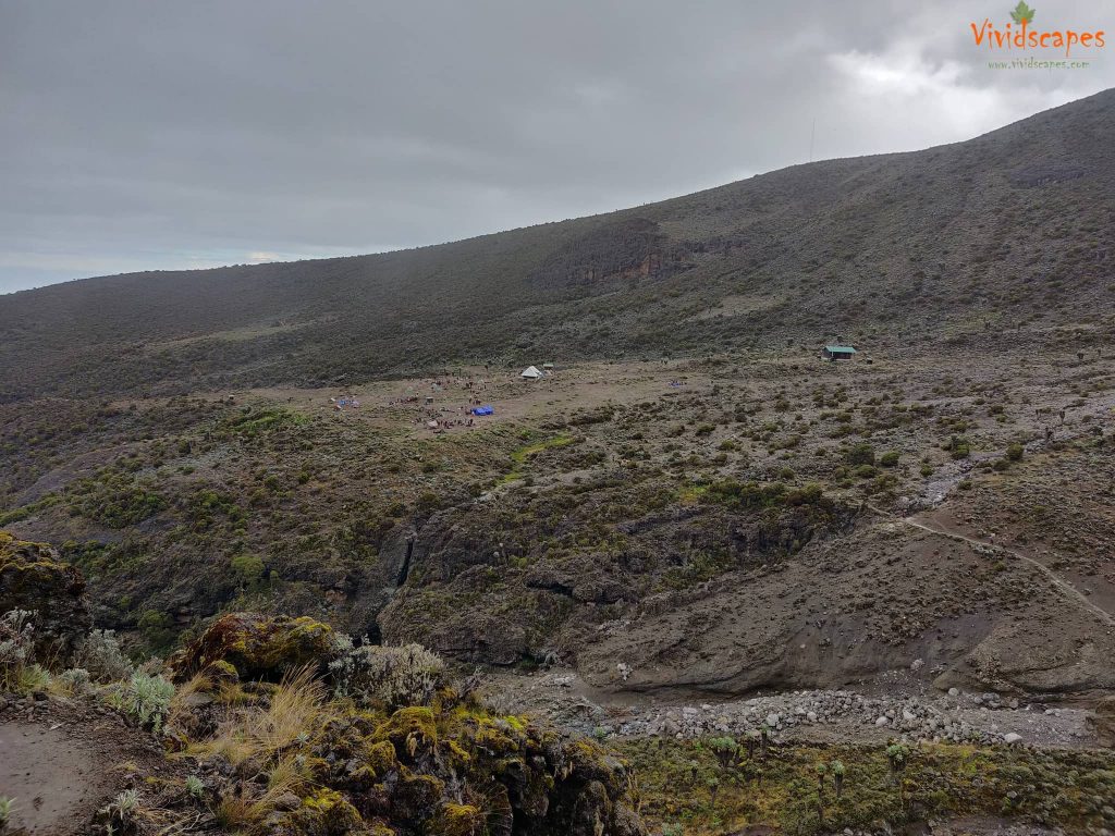
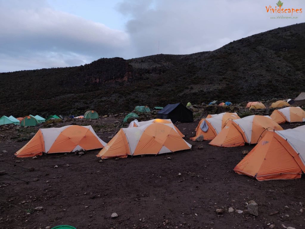
The Barranco camp was a very busy camp as a few other routes join here, the area was quite small packed with lots of hikers and the drop toilet facilities were not great either and a lot less than all other campsite till now. Overall day 4 was a major drain on us.
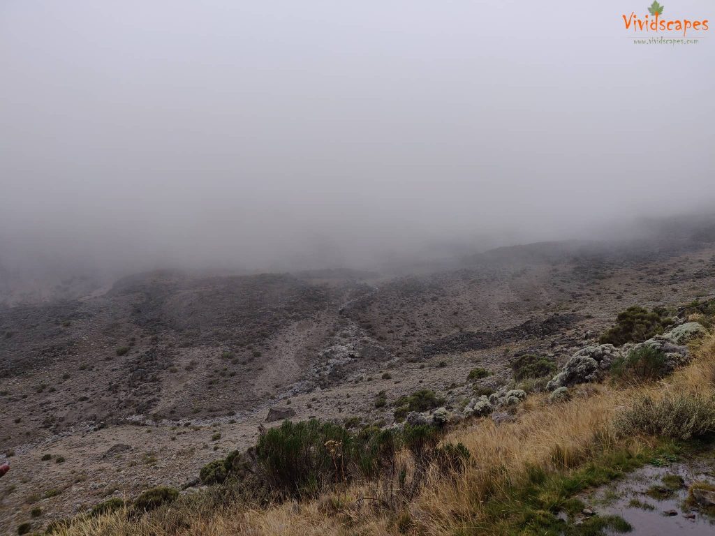
conditions were tough today with ice rain and wind
We had lunch at the Lava Tower before heading down to Barranco camp.
Spectacular pine trees line the path
Colourful pine like these are an eye candy to the tired hiker
Colourful pine like these are an eye candy to the tired hiker
Finally reached the Baranco camp after a long tiring and wet day.
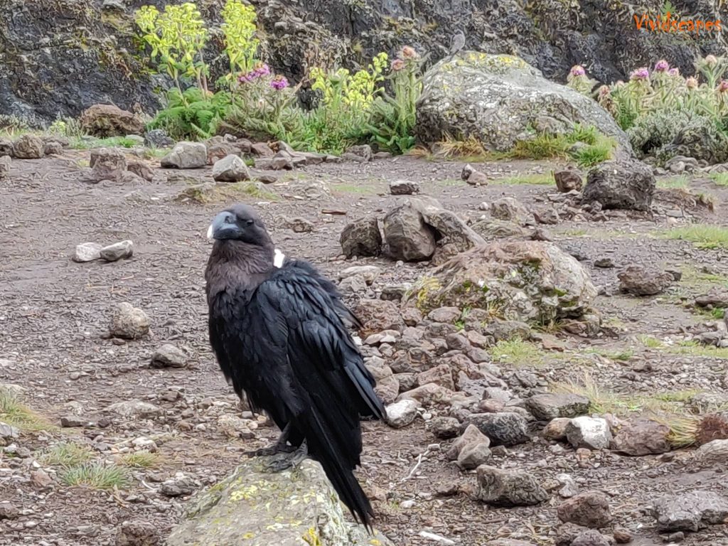
The Ravens here are huge
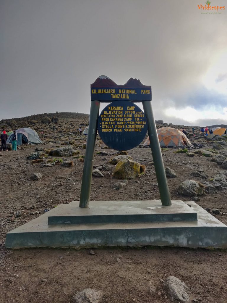
Day 5: Barranco Camp to Karanga Camp
- Elevation: 13,044 ft to 13,106 ft
- Distance: 5 km | 3 miles
- Hiking Time: 4-5 hours
- Habitat: Alpine Desert
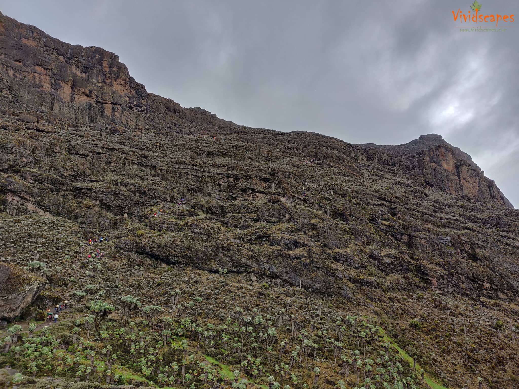
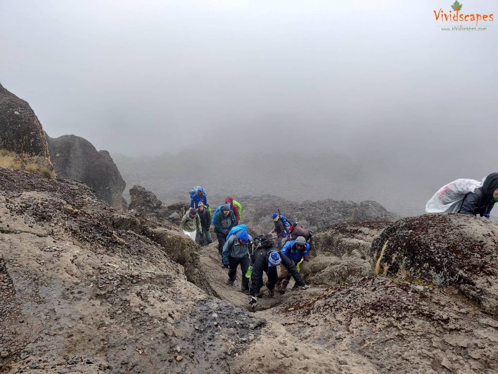
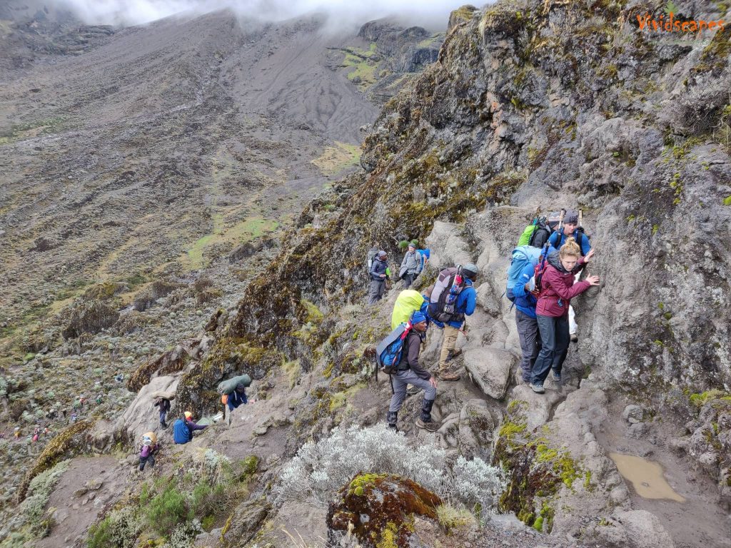
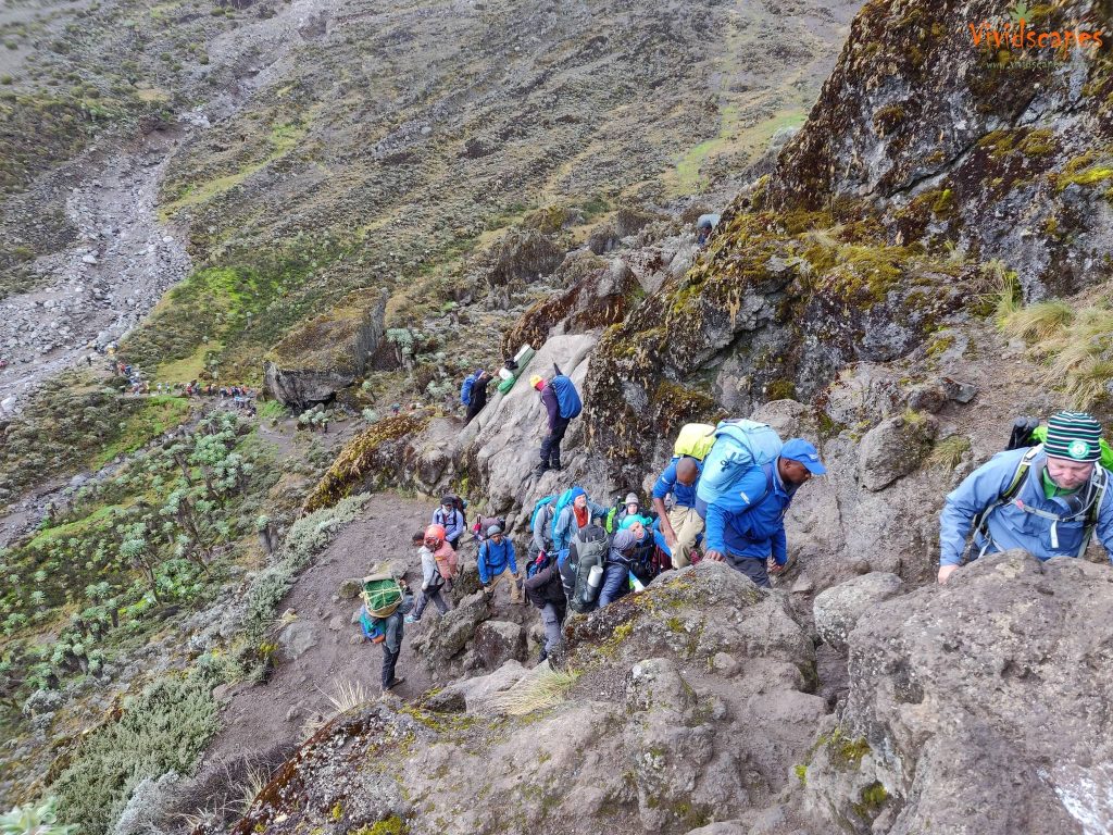
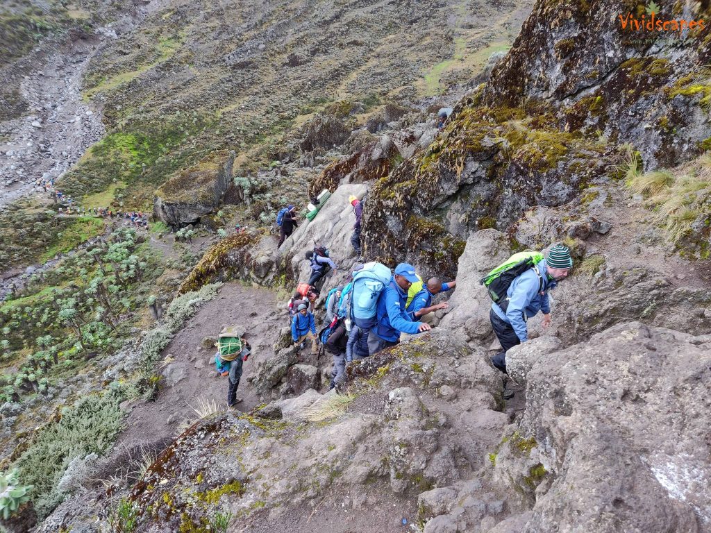
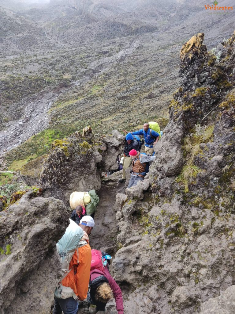
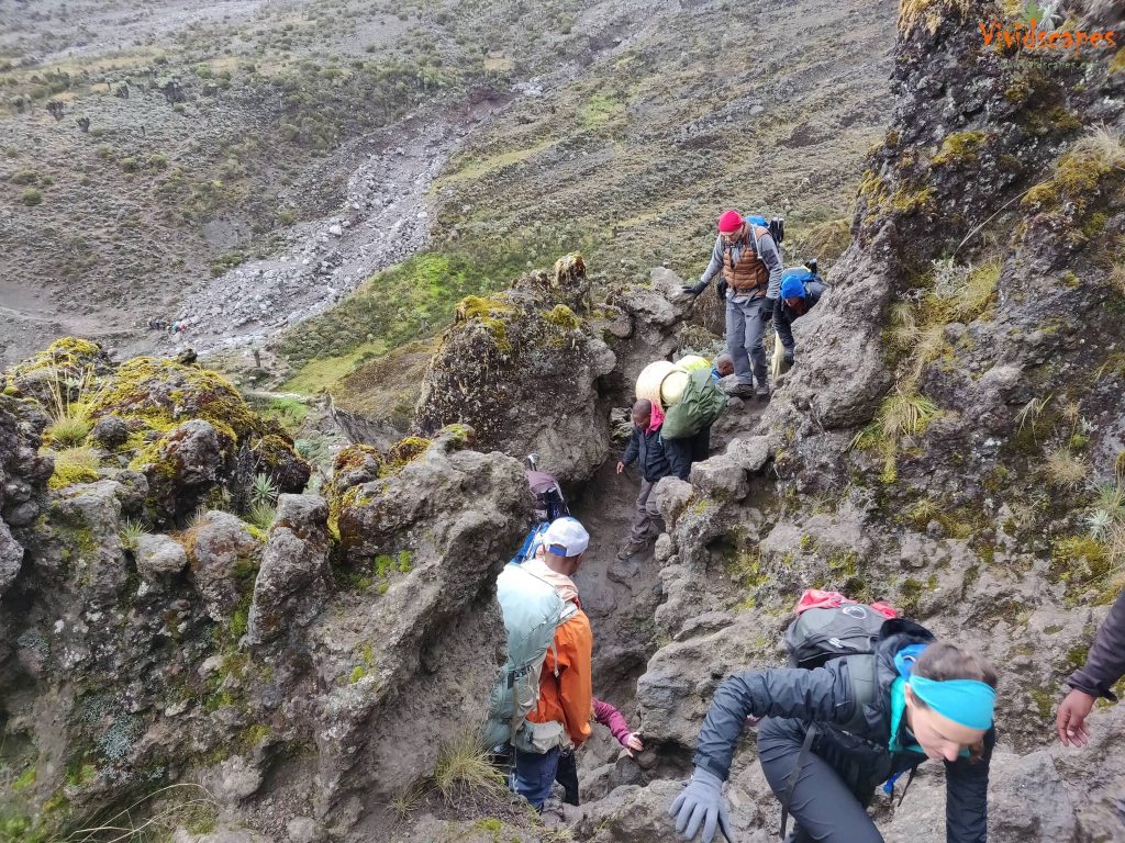
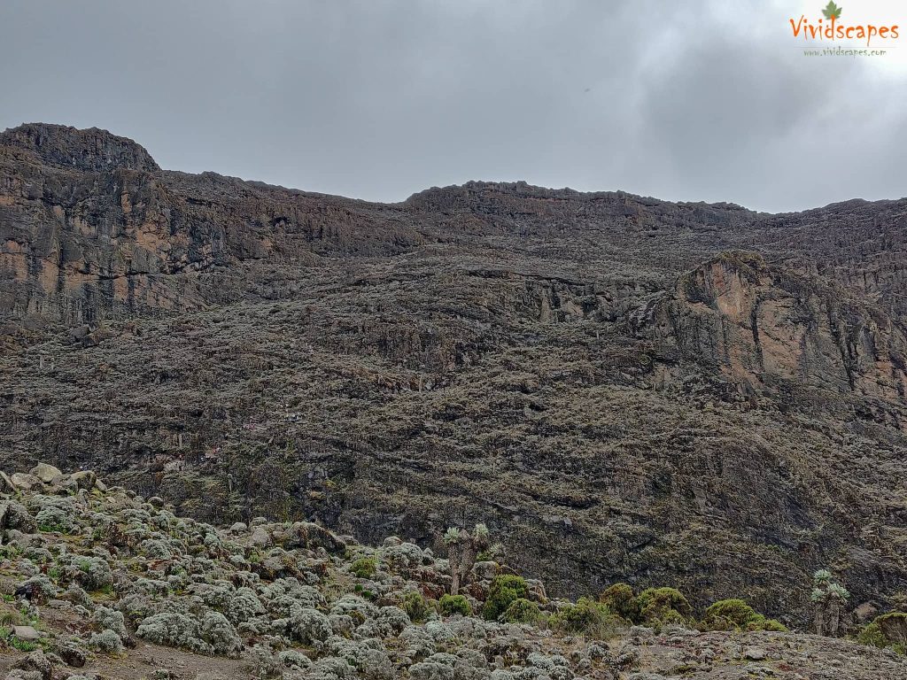
We begin the day by descending into a ravine to the base of the Great Barranco Wall, we saw the wall in front of us and did not believe we had to scale this big cliff until we saw other hikers on them, we were on all four limbs and we actually enjoyed the climb a lot as opposed to a lot of online comments suggesting it as hard or dangerous, glad we did not read about it before we went, blessed ignorance helps!
Its non-technical but steep rising nearly 900 ft high caused a few million years ago by a volcano and a subsequent landslide and the views from the top were amazing. Further from the top of the Barranco Wall we crossed a series of hills and valleys until we descend sharply into Karanga Valley. One more steep climb up leads us to Karanga Camp. This is a shorter day meant for acclimatization.
After the hard day 4 which was tough on our knees, this proved to be a tougher day too and last hour of hard push to the karanga camp was challenging.
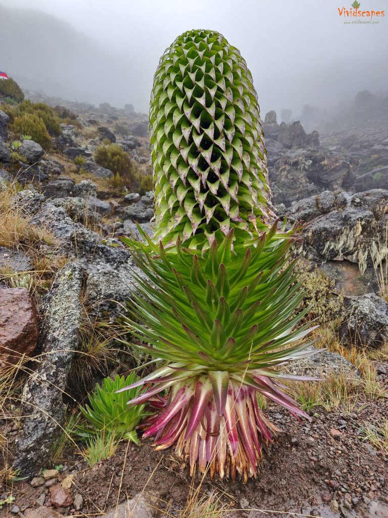
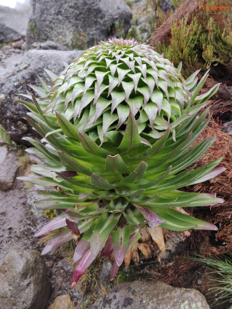
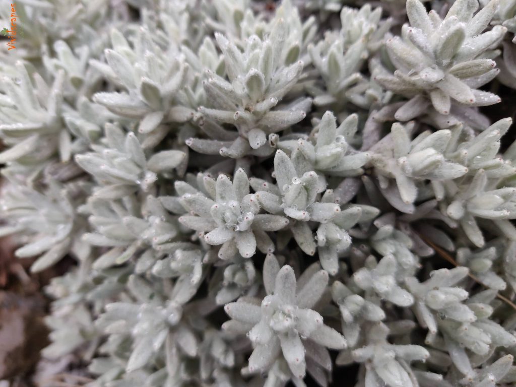
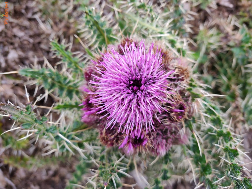
Kilimanjaro flowers
peek a boo
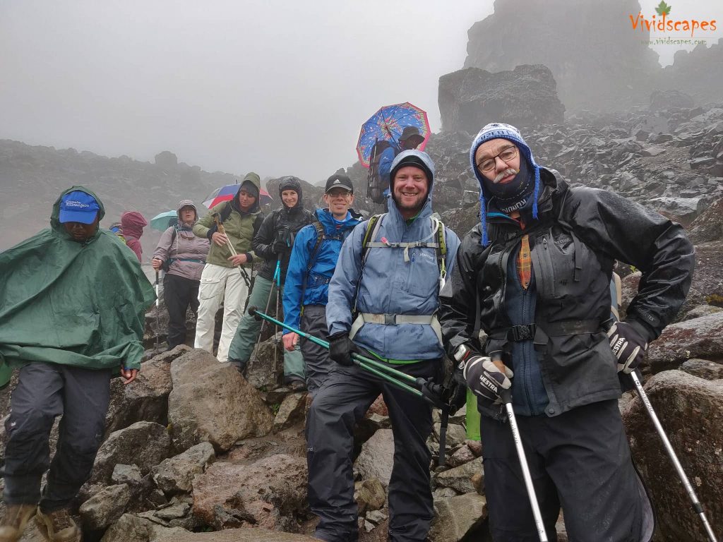
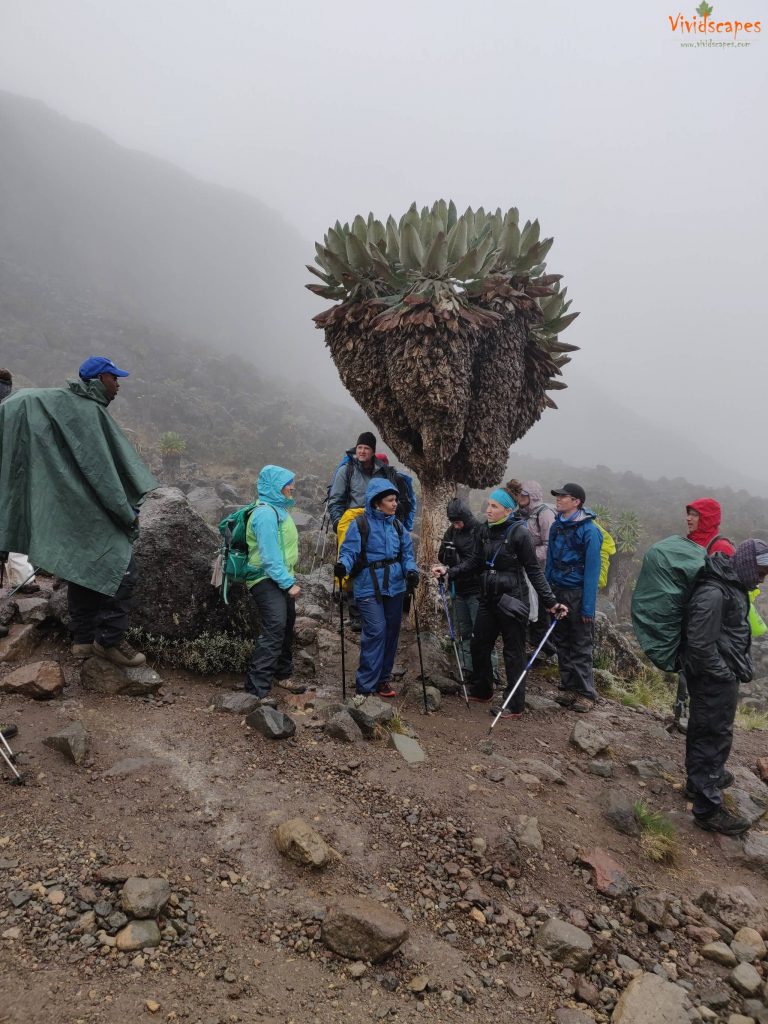
This group can't get any better
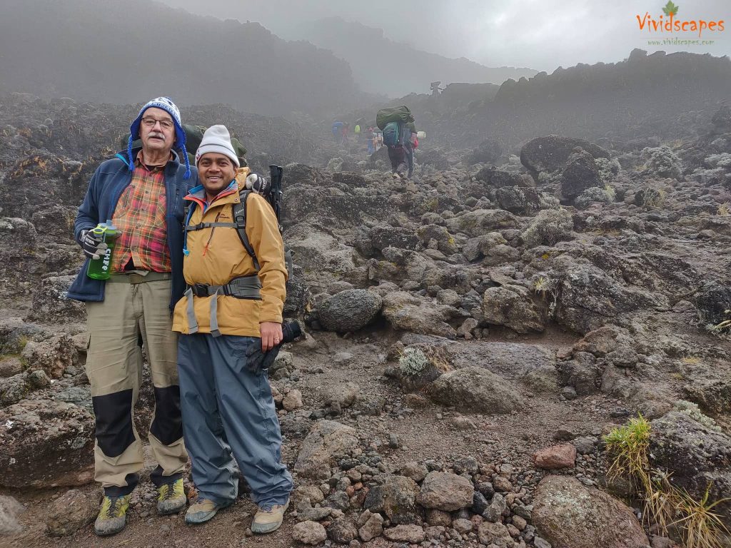
Bengt, an inspiring 70 year young lad from Sweden, he had so many stories to keep us entertained for days.
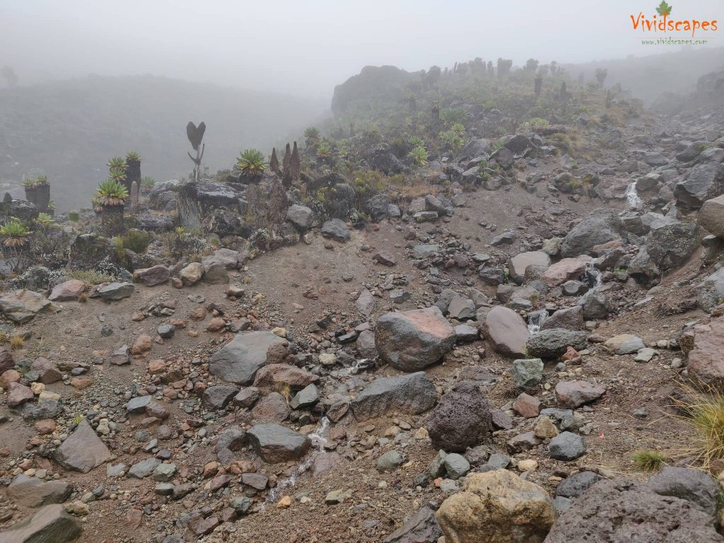
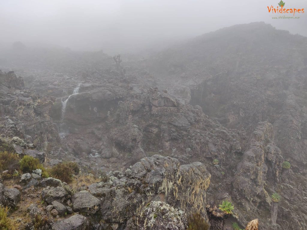
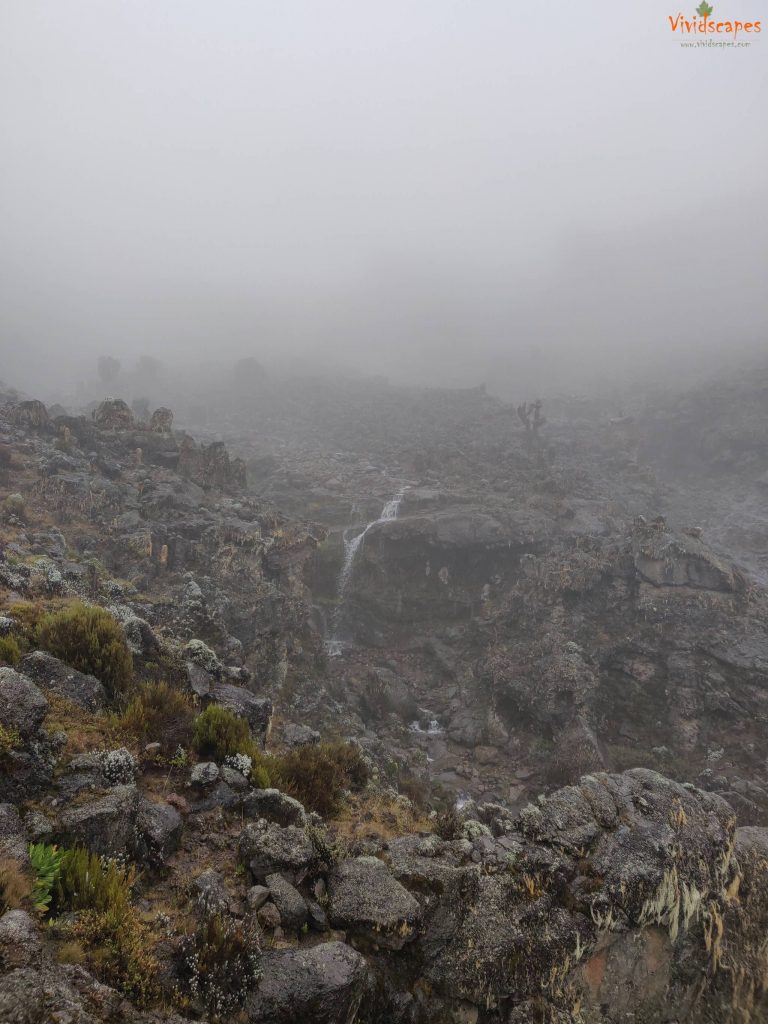
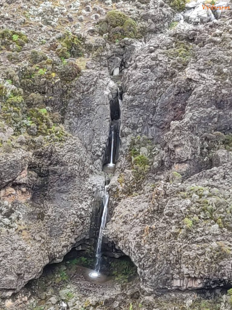
A waterfall by the Barranco camp
We were on 4x4 for this climb
We were on 4x4 for this climb
We were on 4x4 for this climb
View of the Barranco camp from the cliff
We were on 4x4 for this climb
We were on 4x4 for this climb
Great Barranco Wall, we climb the non-technical but steep, nearly 900 ft cliff.
Great Barranco Wall, we climb the non-technical but steep, nearly 900 ft cliff.
Baranco camp was busy and smaller than others
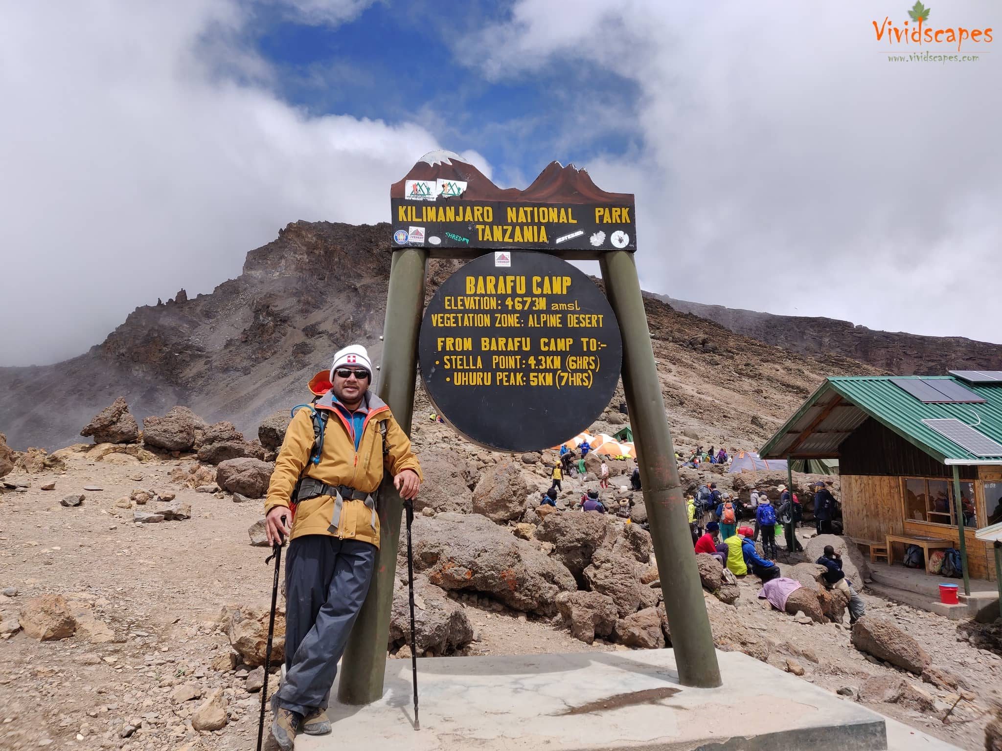
Day 6: Karanga Camp to Barafu Camp
- Elevation: 13,106 ft to 15,331 ft
- Distance: 4 km | 2 miles
- Hiking Time: 4-5 hours
- Habitat: Alpine Desert
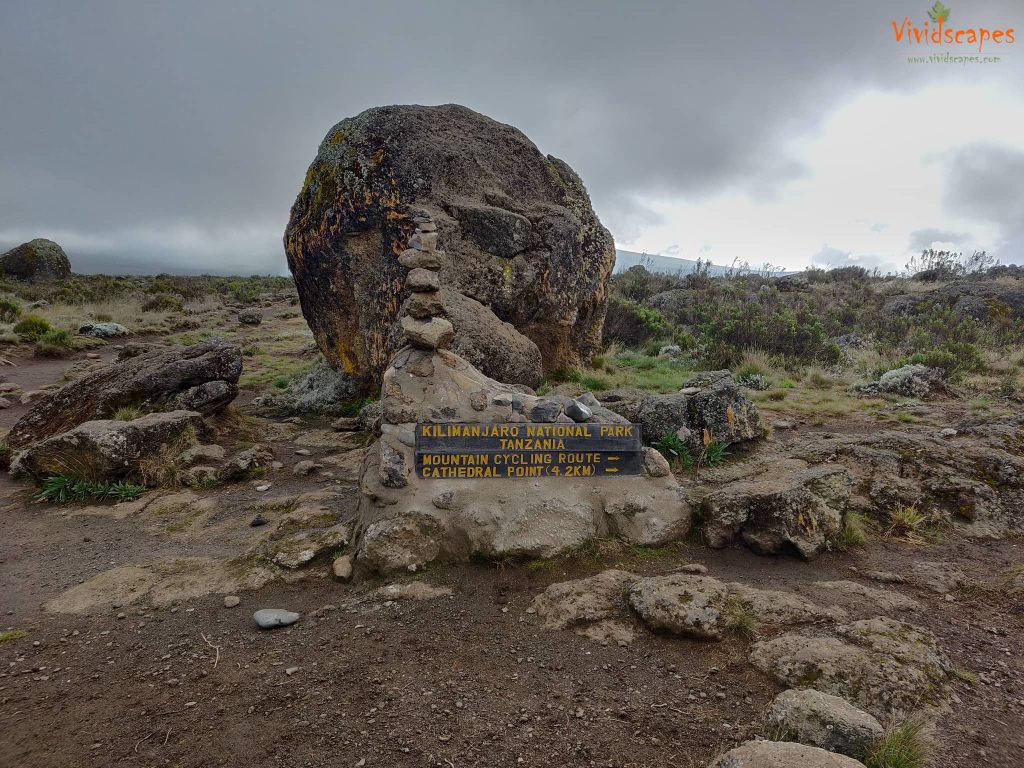
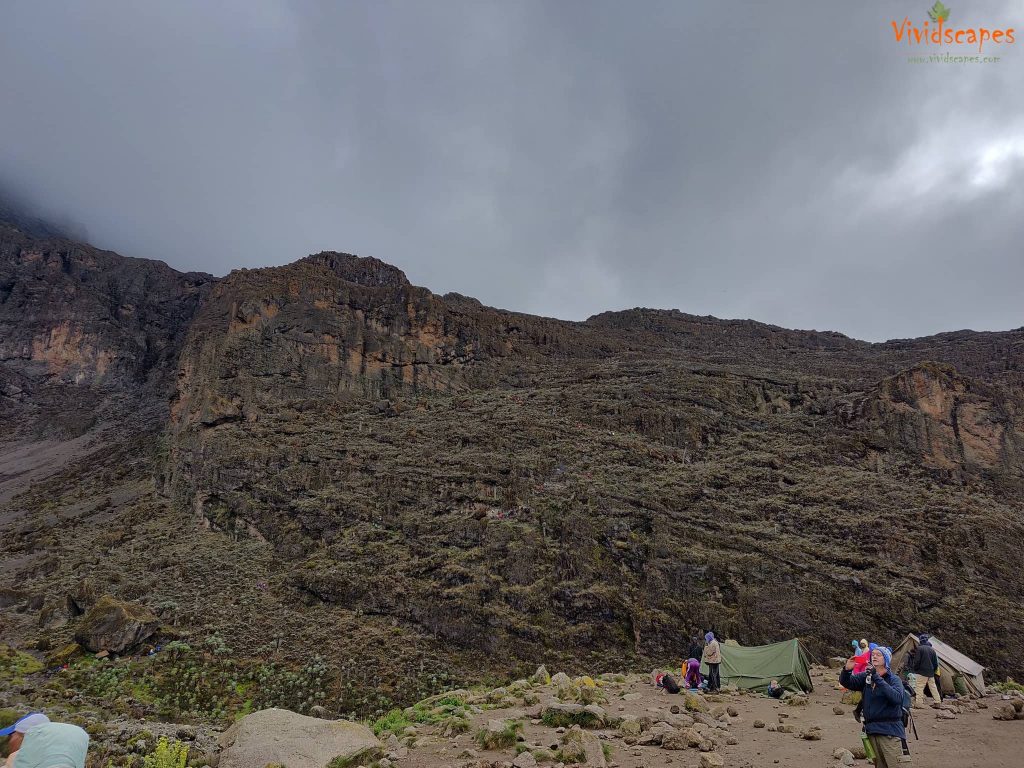
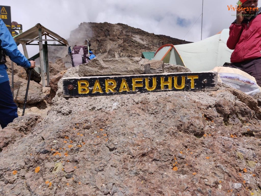
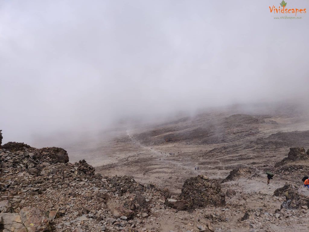
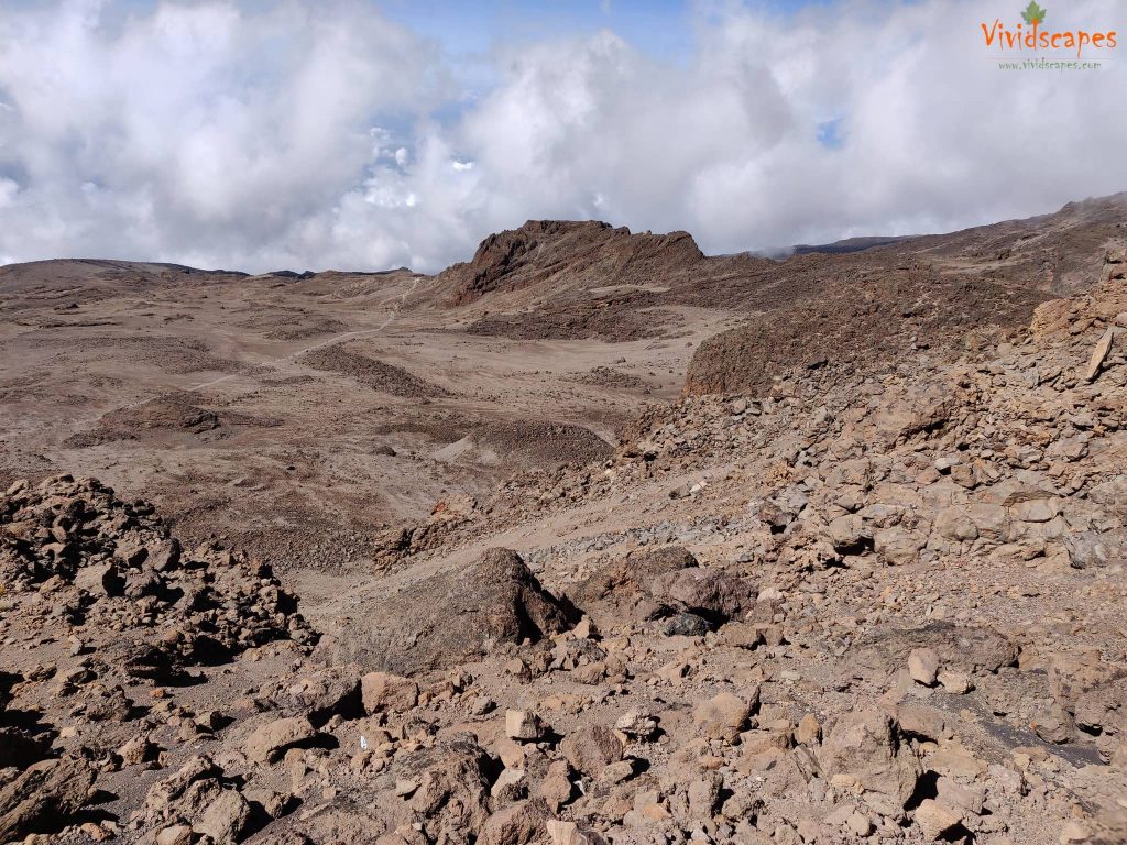
We left Karanga and hit the junction which connects with the Mweka Trail. We continue up to the rocky section to Barafu Hut. At this point, we have completed the Southern Circuit, which offers views of the summit from many different angles. The two peaks of Mawenzi and Kibo are viewable from this position.
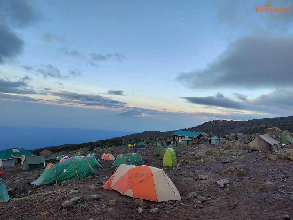
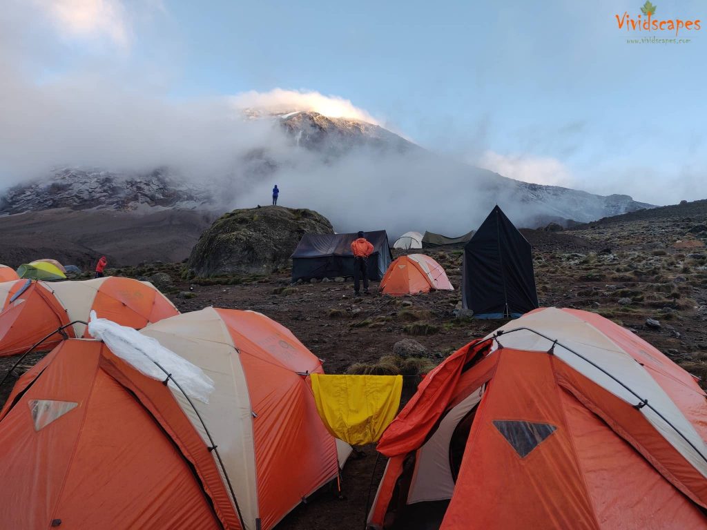
This was one of the better days with no rain, all previous days we had occasional rain except on day 4 which was heavy and all day. This is the base camp from where the summit hike starts. We were all excited and anxious for the summit night, after an early dinner and briefing we try to get some sleep to be ready for a midnight start to the summit.
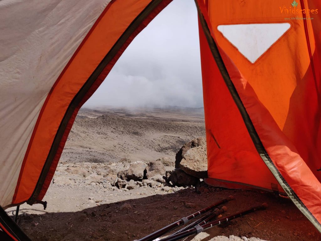
A view of the valley from our tent.
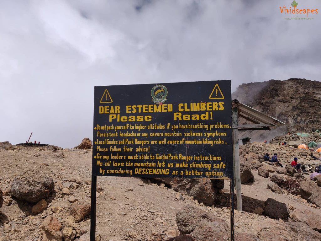
Do adhere to what your body tells you, its very important.
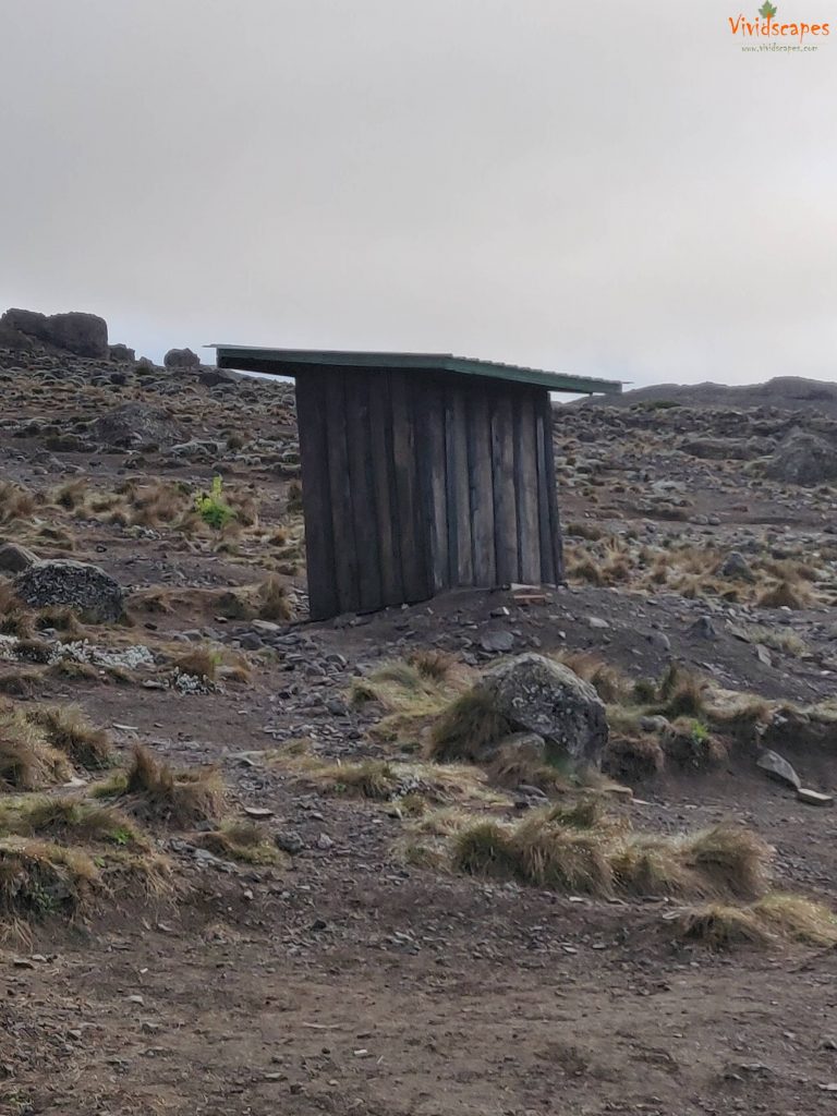
These weird wooden structure is a drop toilet found in all of the camp sites, a better option to the porta potties if you can ignore the smell a bit.
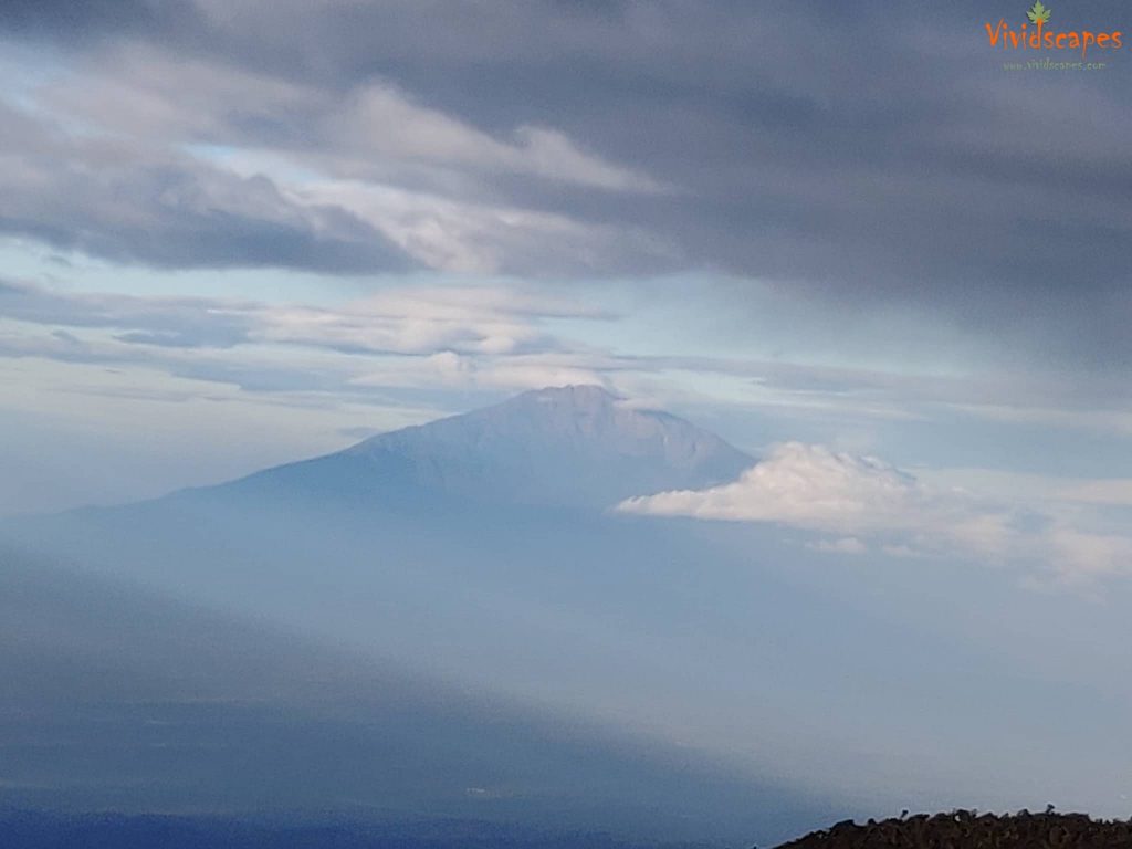
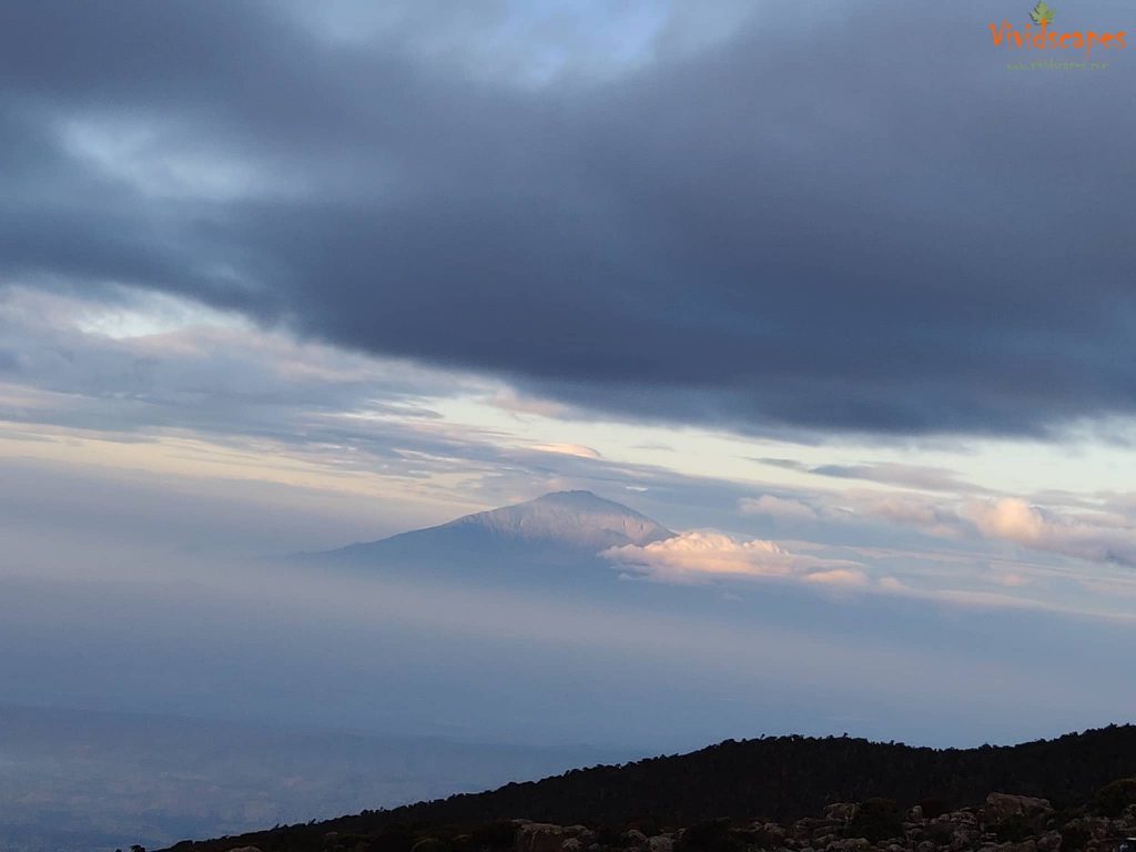
Early morning views of Meru peak from Karanga camp.
Views from the Karanga camp
Day 7: Summit day to Uhuru Peak
- Elevation: 15,331 ft to 19,341 ft
- Distance: 5 km | 3 miles
- Hiking Time: 7-8 hours
- Habitat: Arctic
Very early in the morning (around midnight), we began our push to the summit. The wind and cold at this elevation and time of day can be extreme. We ascend in the darkness for several hours while taking frequent, but short, breaks.
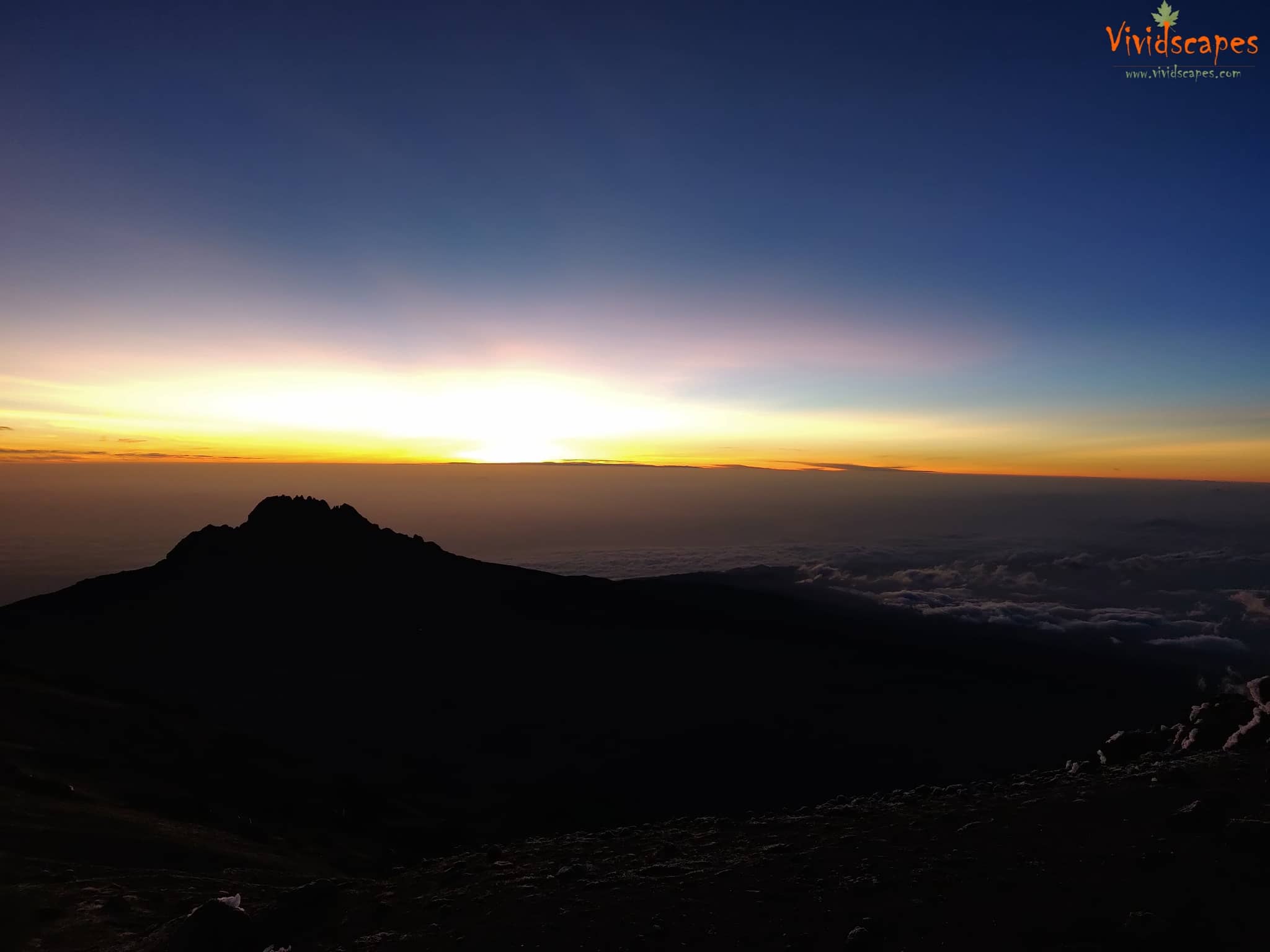
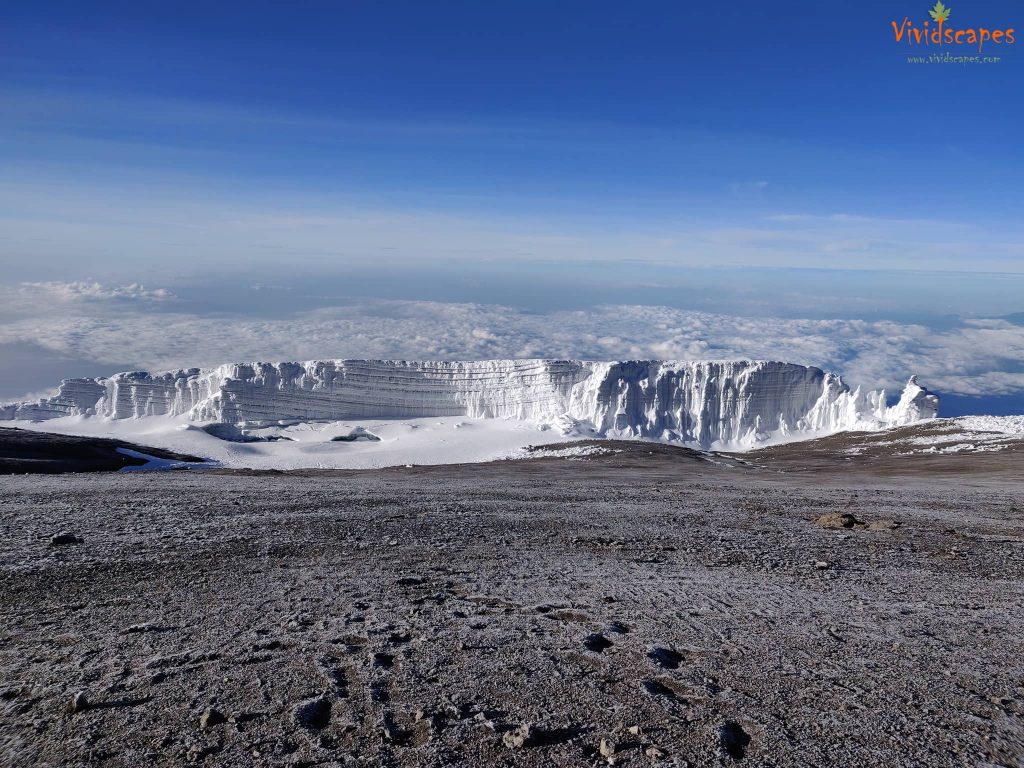
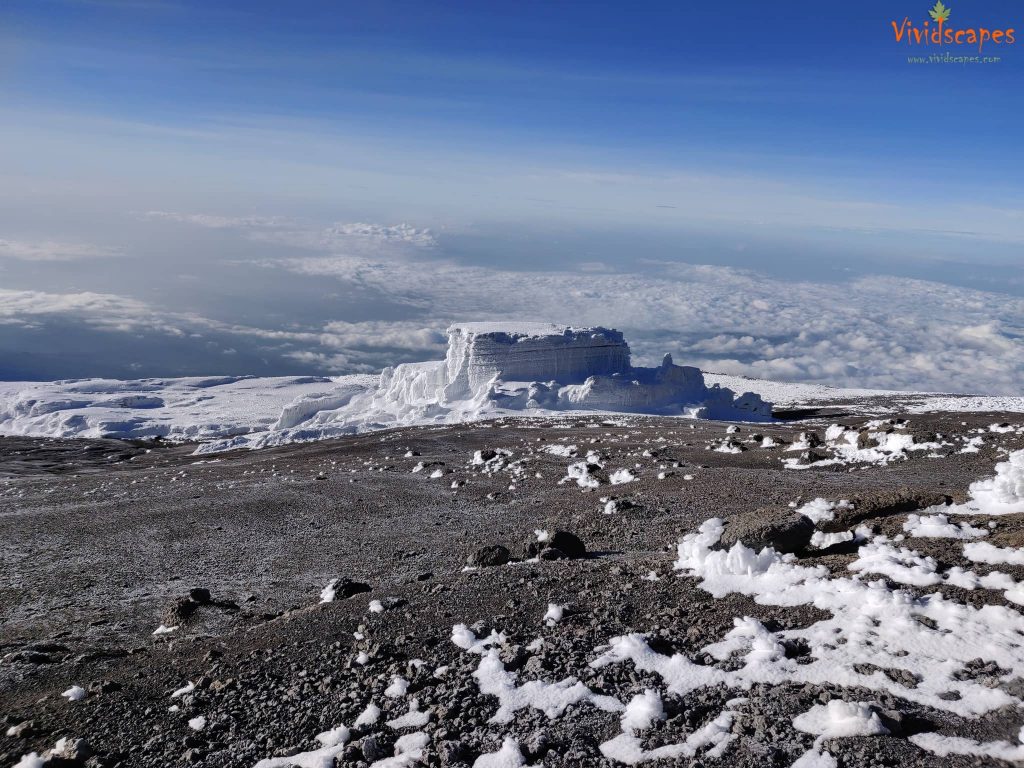
This was the most challenging day and hike of all other days, at halfway point we almost gave up, but our guides were awesome, they were constantly reminding us not to give up, never never ever give up, we were told constantly and they even sang local songs to keep us awake through the night. We inched slowly up the trail with the oxygen getting thinner and the legs refusing to cooperate. After quite a bit of hard push we saw a silver lining in the sky, we put the final step at Stella point and were greeted with the most beautiful sunrise ever on the top peak of Africa.
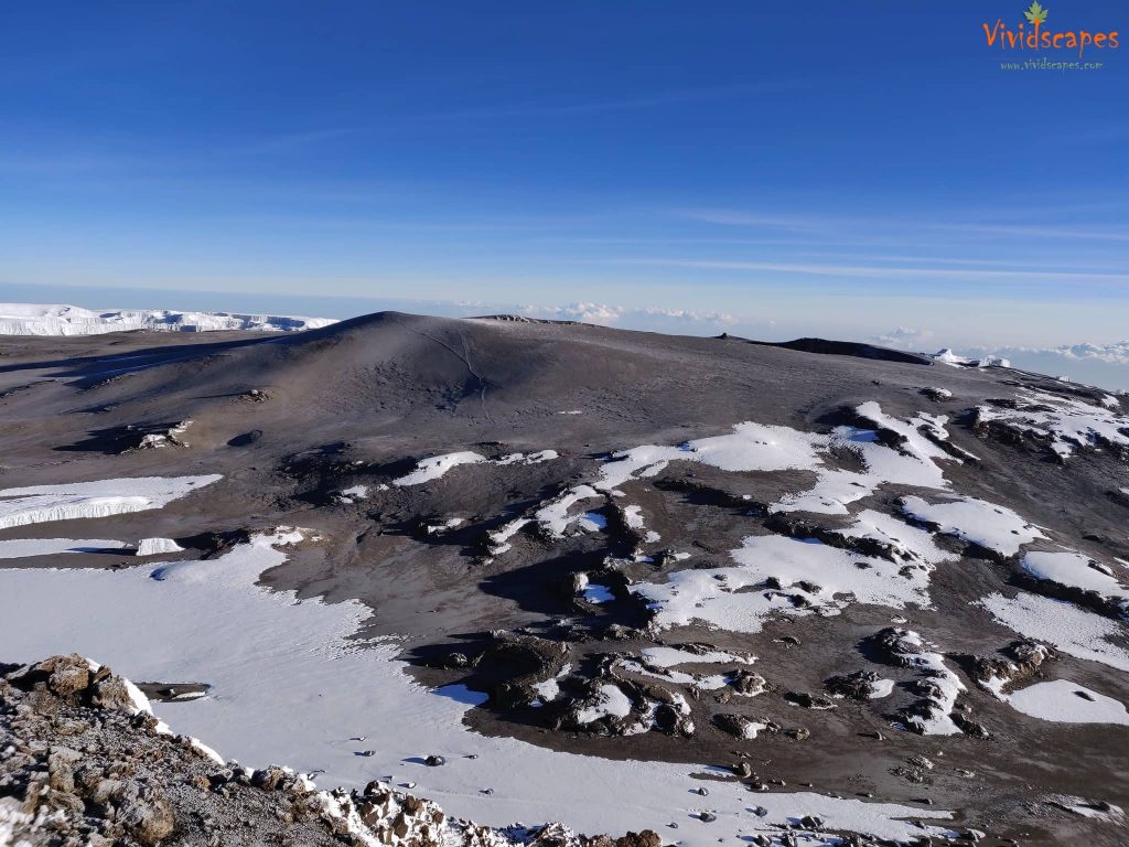
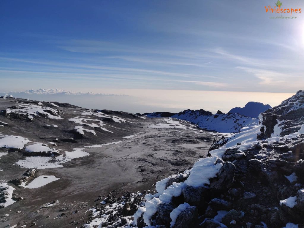
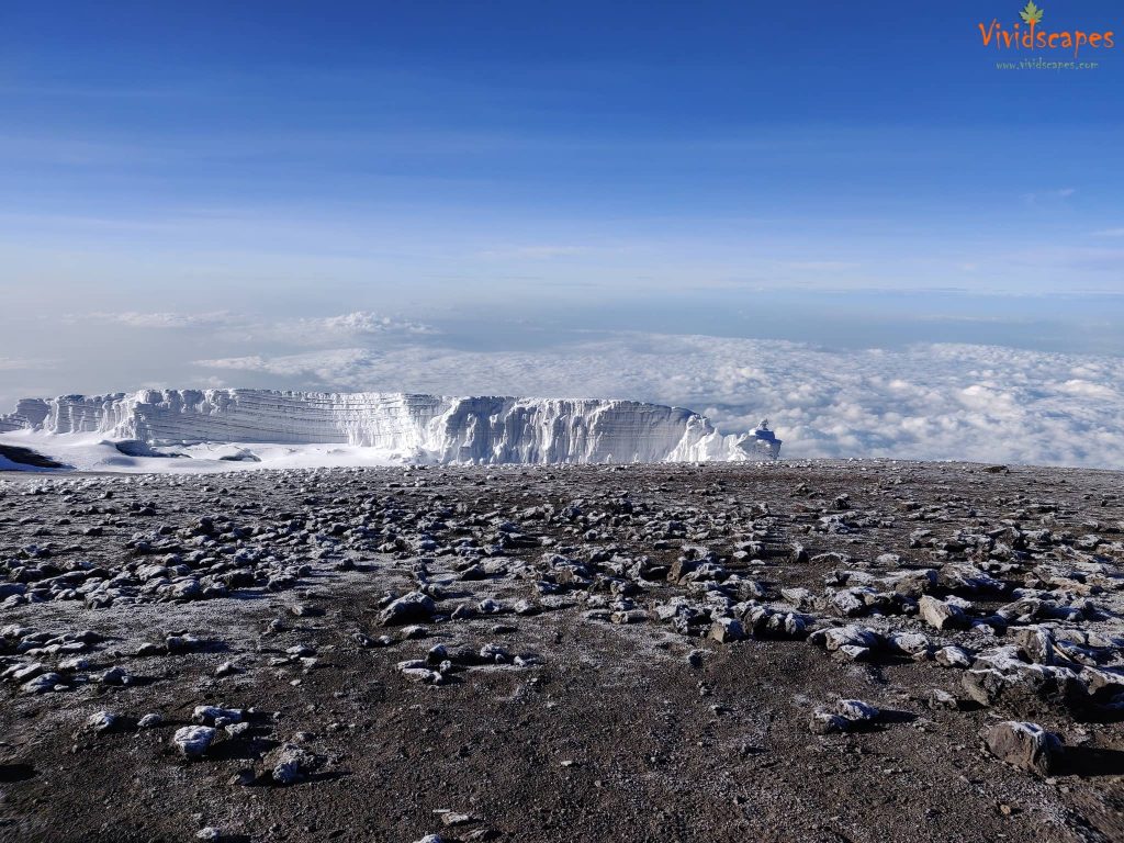
Suni and myself both broke into tears, we couldn’t control the joy, the feeling of making it to the top, the mental and physical challenges we went through all this while had finally got us to the top, words wouldn’t be enough. After a few photo sessions, we push ourselves to the Uhuru peak, do not give up at Stella point having made this long a hike, the highest point in Kilimanjaro is only 45 mins away. As the weather was bitterly cold even with 5 layers and the lesser oxygen levels meant we had to start descending soon. We bowed down to mother nature and started back to base camp.
Above the clouds at 19000 ft
Summit day: Uhuru Peak to Mweka Camp
- Elevation: 19,341 ft to 10,065 ft
- Distance: 12 km | 7 miles
- Hiking Time: 4-6 hours
- Habitat: Rain Forest
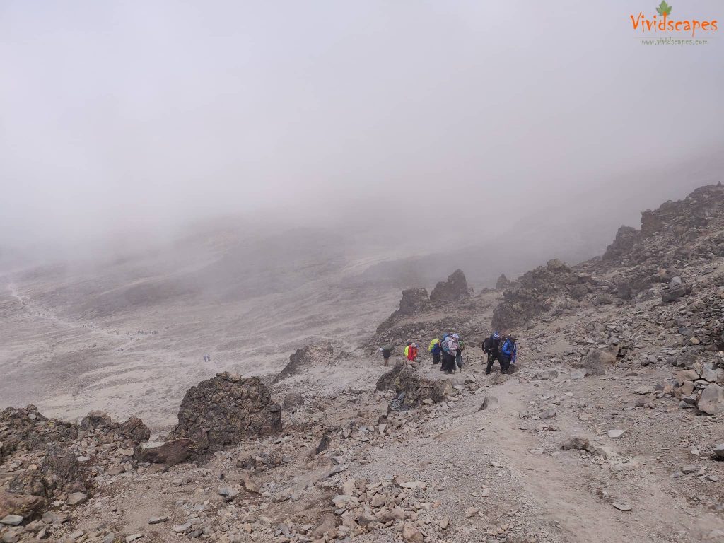
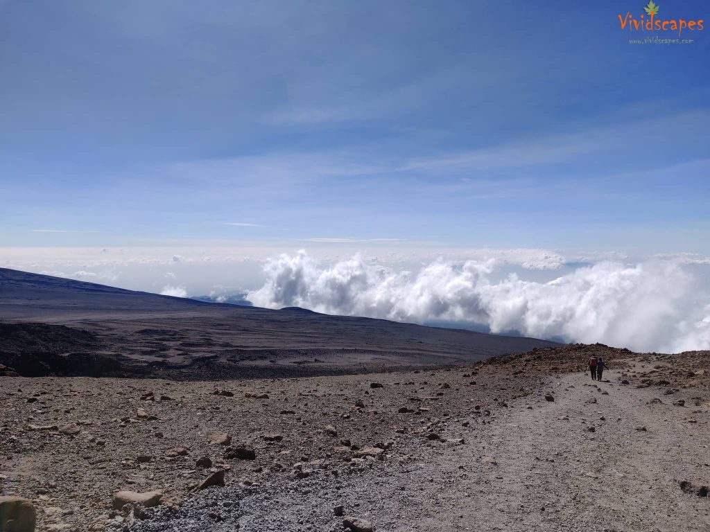
From the summit, we made our descent continuing straight down to the Mweka Hut camp site, the trail down from the peak was like walking on marble, the volcanic rocks had very less traction and we had to slide down like skiing without the skis, a very hard one on the knees and hips, we stopped at Barafu for lunch and a 2 hour break. Suni was very tired and couldn’t get the energy to wake up, after a bit of struggle and some fruit diet, she gained a bit of energy, we are not allowed to camp that high and we had to descend to lower camp.
The trail down to mweka camp was a tough one on the knees too, its a rocky dry stream all the way to the camp. Later in the evening, we enjoyed our last dinner on the mountain and a well-earned sleep, this was the best night overall and we slept like a log.
Overall the summit day was the hardest thing we have ever done, it was a mental and physical challenge, a total of 16 hours from the midnight start to the final camp the longest and every inch of our body could feel the strain.
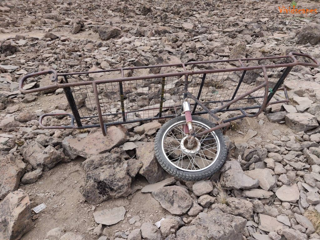
Is used by the porters to move people to lower camps if they become unwell or injured
The rocky stream bed is not easy on the knees.
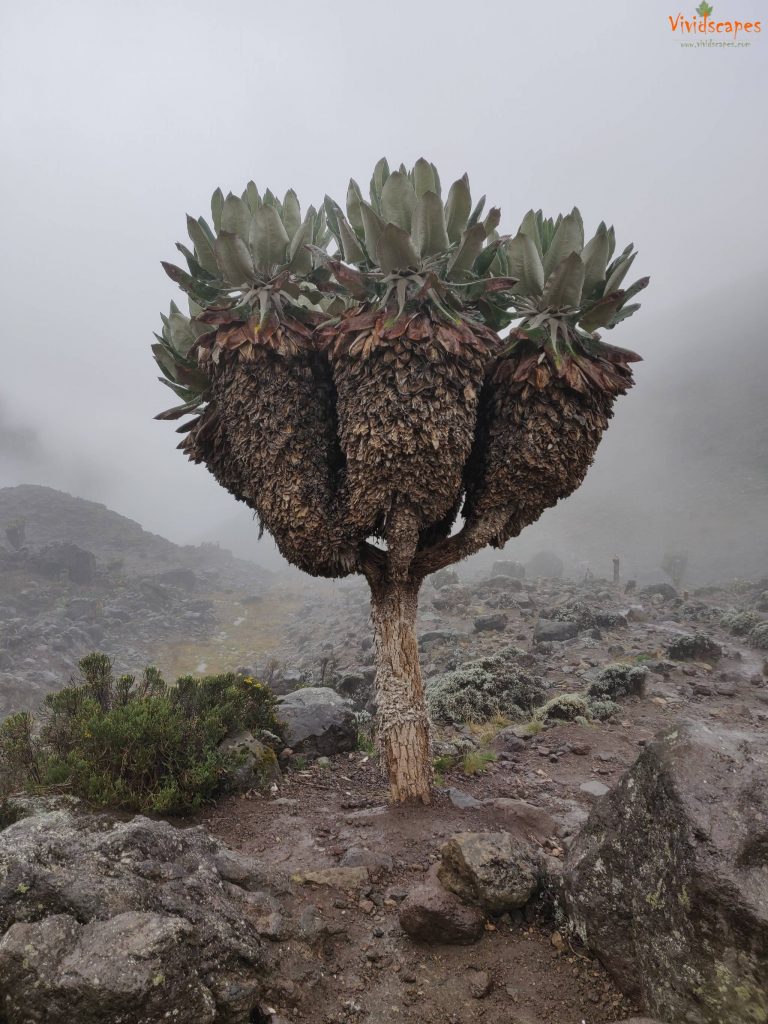
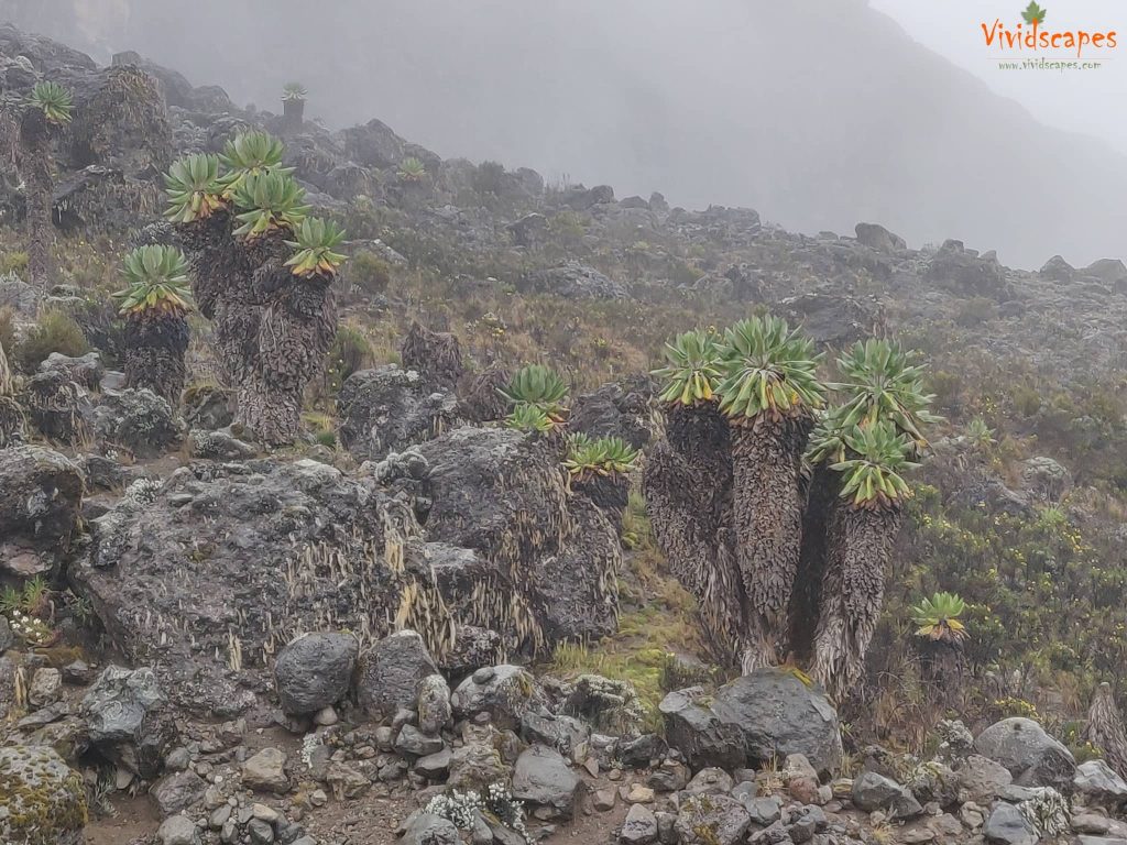
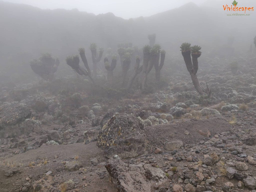
The flora and fauna of Kilimanjaro
The flora and fauna of Kilimanjaro
Final Day: Mweka Camp to Mweka Gate
- Elevation: 10,065 ft to 5,380 ft
- Distance: 10 km | 6 miles
- Hiking Time: 3-4 hours
- Habitat: Rain Forest
This morning after breakfast, we thank all our guides and porters and a tipping ceremony is held as a mark of appreciation to all who helped us make this dream a reality, we loved the hakuna matata song sang by our guides and porters and we bid the final farewell to all the porters.
On our last day, we continue the descent to Mweka Gate, the pounding of our legs and knees from all the earlier days does not make this muddy and slippery trail any easier at all. Finally we reach the Mweka gate post after 4 hours, final sign out and our guides collect our summit certificates. From the gate, we continue to Mweka Village and were driven back to the hotel in Moshi.
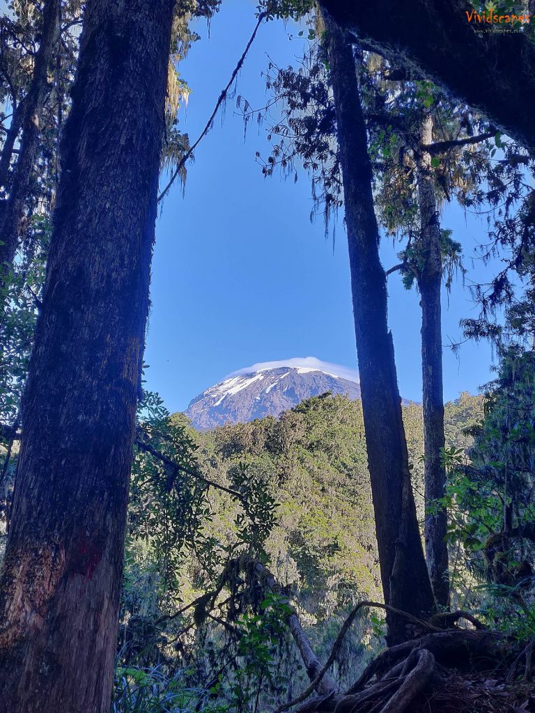
Beautiful views of Kilimanjaro from on the way to Mweka gate
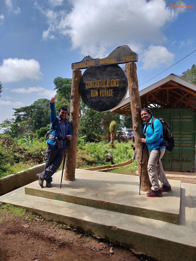
And standing proud with a sense of accomplishment
We were the happiest to see this final name board.
Trip notes
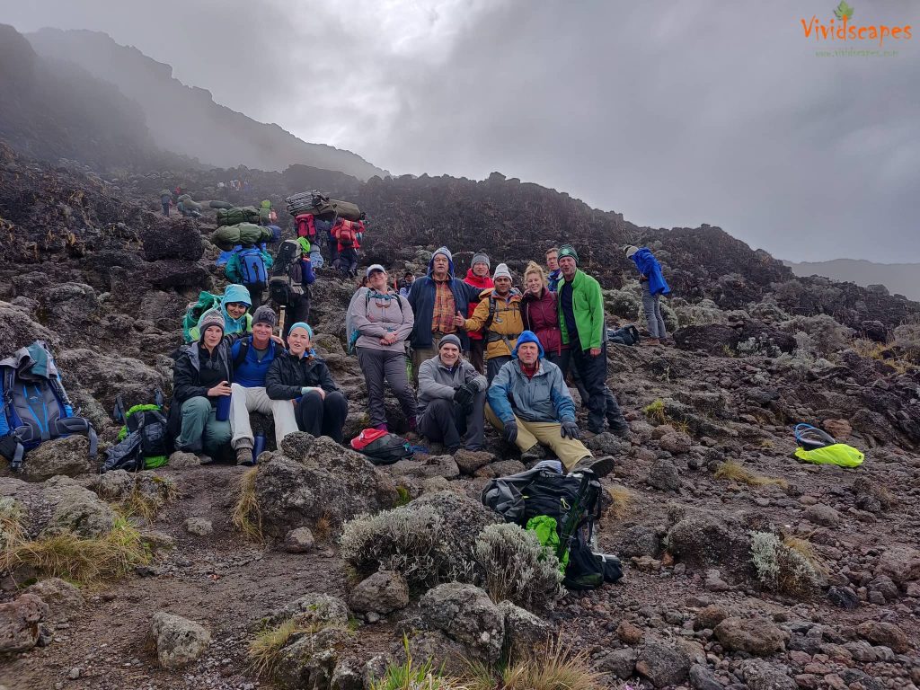
We reached our hotel parkview inn around midday and our guides distributed our summit certificates. Ours was a group of 14, many from the United States, few from Australia, us from London and a girl from India and an inspirational 70 year young lad from Sweden 🙂
- Do take rain gear with you, lots of areas are through the rain forests and we had rain on the first 4 days of the trek.
- A head lamp is mandatory to walk around the camp at night, a rechargeable one or bring extra batteries as you will be using them quite a lot. We used the Led Lenser MH10 rechargeable model and worked well in the cold weather.
- A double layer socks can guarantee against any blisters, we wore one and our feet had not even a slight skin peel, we highly recommend them. We used the Trespass Hadley Women and Trespass Anti Blister Mens double layer socks.
- A battery pack and solar charger might be handy too.
- The group is provided with a common porta potty style toilets private to the group, but all campsites had a drop toilet, it’s basically a hole in the ground with a small wooden fenced room to do the business, it smells a bit but we found it easier and cleaner to use than the porta potty.
- Merino wool t-shirts are best for sweat wicking and to stay smell free, we used the same t-shirt over 2 to 3 days and stayed smell free.
- For summit day a minimum of 5 layers is recommended and the topmost jacket should be wind and waterproof.
Every beautiful trip comes to an end, but we hope this inspires you to experience this adventure firsthand.
If you had any doubts about being able to hike up Kilimanjaro, don’t hesitate, all you need is mental strength and you can make it.
If there is one thing that we learnt from this adventure is to… Never ever ever give up on our goal, persistent and we can achieve it!

![]()
All photos shot on OnePlus 6

Thank you for all your incredible support and compliments, share your thoughts in comments below, or do not hesitate to contact us over email or other social channels if you have any questions or suggestions or even a ‘Hi’ and that motivates us to share more of our love for Travel and Photography.
![]()


